Elwynn Proper

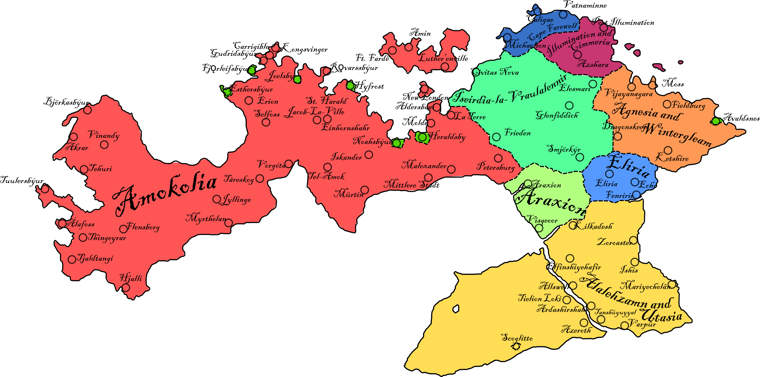
The geographical term Elwynn Proper, also known as Ellyn Amremion in the Elw language, usually denotes the lands of the Elwynnese Union which are situated on the continent of Benacia. It may also in a cultural sense refer to Elwynn of old when the better part of its lands were situated between the proverbial Two Sacred Rivers, which are known as the Blue Elwynn and the White Elwynn, prior to the annexation of Amokolia in 1572 and the subsequent acquisition of overseas territories.
Purists tend to regard Elwynn Proper as comprising of the ancestral homeland of the Elw, the land between the two rivers and the High North, generally the entirety of mainland Elwynn east of the Blue Elwynn and La Terre. Elwynnese rule periodically stretched across what is today the Kingdom of Amokolia, including such territories as the Absentias. However these remained in the popular conception a land apart, outside of Elwdom. The Vale of Angularis is a similarly ambivalent case - although subject to Elwynnese migration when the territory was under the rule of Ashkenatza and home to Froyalanish and Babkhi mercantile settlements on its river-shore dating back to the early 16th century AN, it is a substantially non-Elw territory albeit one ruled by Alalehzamin and Utasia, an integral part of Elwynn Proper.