File:Concordia map.png
From ShireWiki
Jump to navigationJump to search
No higher resolution available.
Concordia_map.png (319 × 283 pixels, file size: 9 KB, MIME type: image/png)
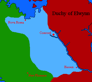
Map of Europia Concordiae, circa 500 ASC (2001)
File history
Click on a date/time to view the file as it appeared at that time.
| Date/Time | Thumbnail | Dimensions | User | Comment | |
|---|---|---|---|---|---|
| current | 13:58, 9 January 2016 | | 319 × 283 (9 KB) | Vlad (talk | contribs) | Map of Europia Concordiae, circa 500 ASC (2001) |
You cannot overwrite this file.
File usage
The following page uses this file: