File:Lakhesis topographical borders.png: Difference between revisions
From ShireWiki
Jump to navigationJump to search
(Map of the Barony of Greater Lakhesis, with topographical features and borders.) |
(No difference)
|
Revision as of 05:12, 2 January 2010
Map of the Barony of Greater Lakhesis, with topographical features and borders.
File history
Click on a date/time to view the file as it appeared at that time.
| Date/Time | Thumbnail | Dimensions | User | Comment | |
|---|---|---|---|---|---|
| current | 05:20, 2 January 2010 | 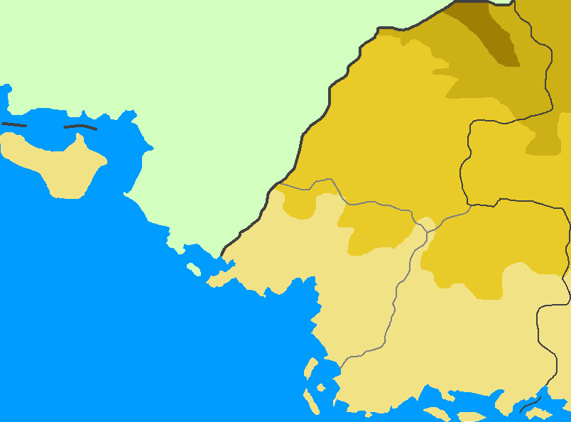 | 804 × 594 (13 KB) | Malliki (talk | contribs) | |
| 05:12, 2 January 2010 | 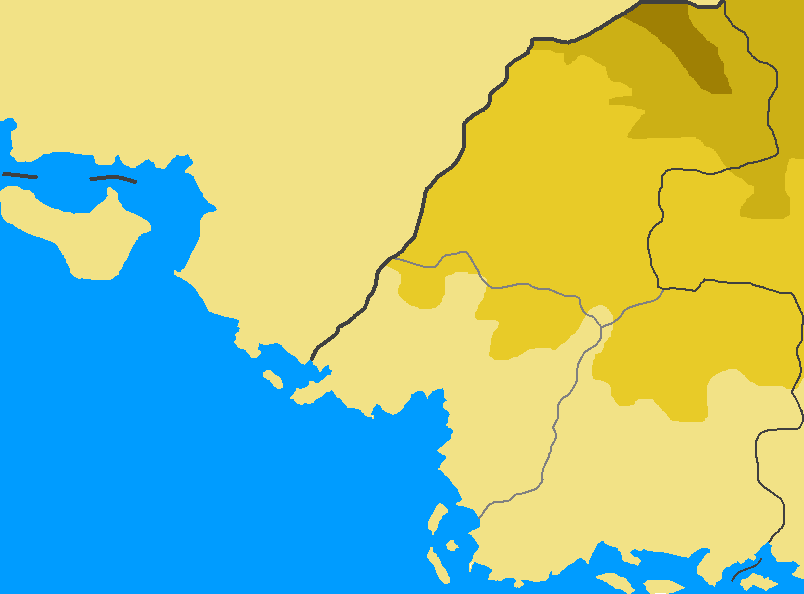 | 804 × 594 (13 KB) | Malliki (talk | contribs) | Map of the Barony of Greater Lakhesis, with topographical features and borders. |
You cannot overwrite this file.
File usage
The following page uses this file: