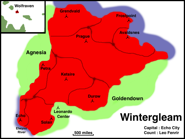
File:Wintergleam Political Map.png
From ShireWiki
No higher resolution available.
Wintergleam_Political_Map.png (640 × 480 pixels, file size: 111 KB, MIME type: image/png)
Update this if you're going to repost it.
File history
Click on a date/time to view the file as it appeared at that time.
| Date/Time | Thumbnail | Dimensions | User | Comment | |
|---|---|---|---|---|---|
| current | 18:19, 2 December 2016 | | 640 × 480 (111 KB) | Hallbjorn (talk | contribs) |
- You cannot overwrite this file.
File usage
The following file is a duplicate of this file (more details):
There are no pages that use this file.