There is currently no text in this page. You can search for this page title in other pages, or search the related logs, but you do not have permission to create this page.
Category:States
From ShireWiki
Media in category "States"
The following 29 files are in this category, out of 29 total.
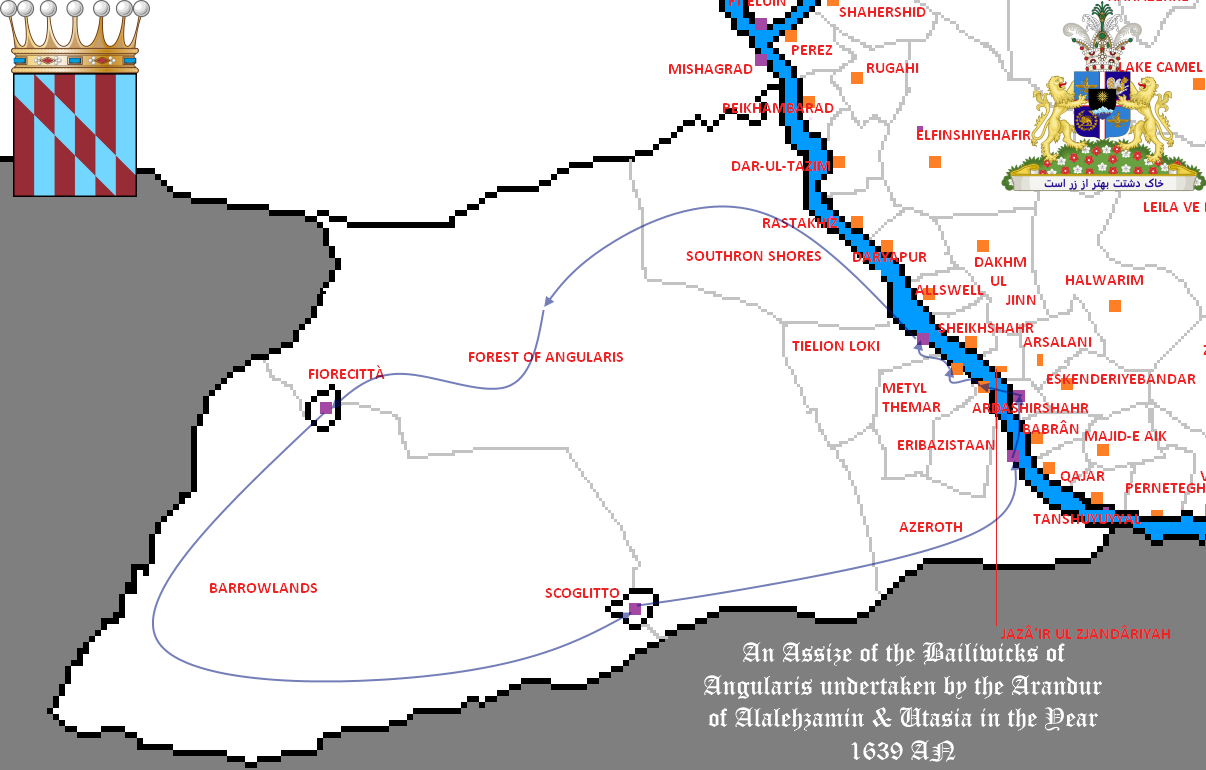 Assize 1639.png 1,206 × 770; 149 KB
 ElsyranMap1 templateNamed.png 1,050 × 1,051; 434 KB
 Elwcircles.png 1,417 × 1,363; 803 KB
 Elwmuni2.png 1,274 × 733; 59 KB
 ElwynnMap.png 5,334 × 2,982; 133 KB
 GSMap1.png 410 × 365; 14 KB
 Gwyneth Map of Elwynn.png 2,494 × 1,239; 529 KB
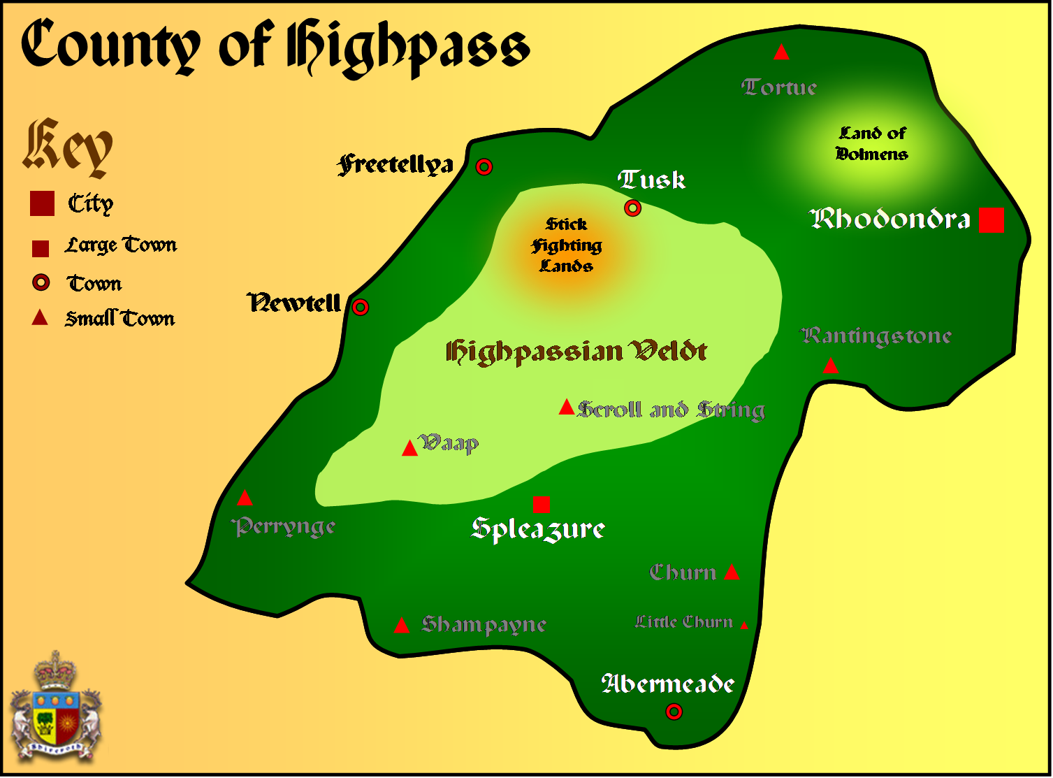 Highpass Map.png 1,507 × 1,113; 353 KB
 Lichbrook 1650.png 608 × 325; 14 KB
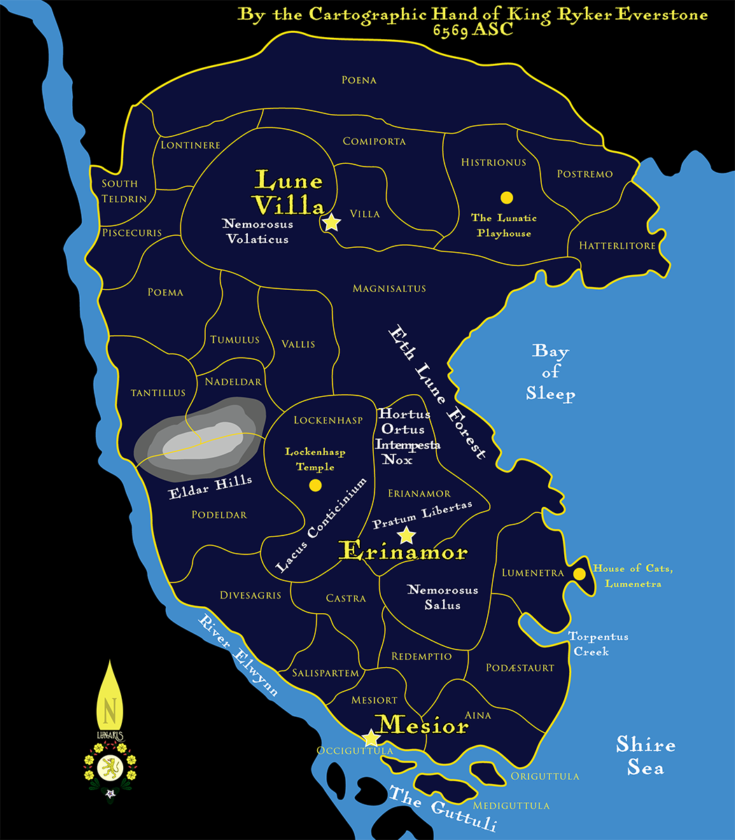
 Lunarismap4980.png 659 × 800; 118 KB
 Lunarismap5244.png 659 × 800; 160 KB
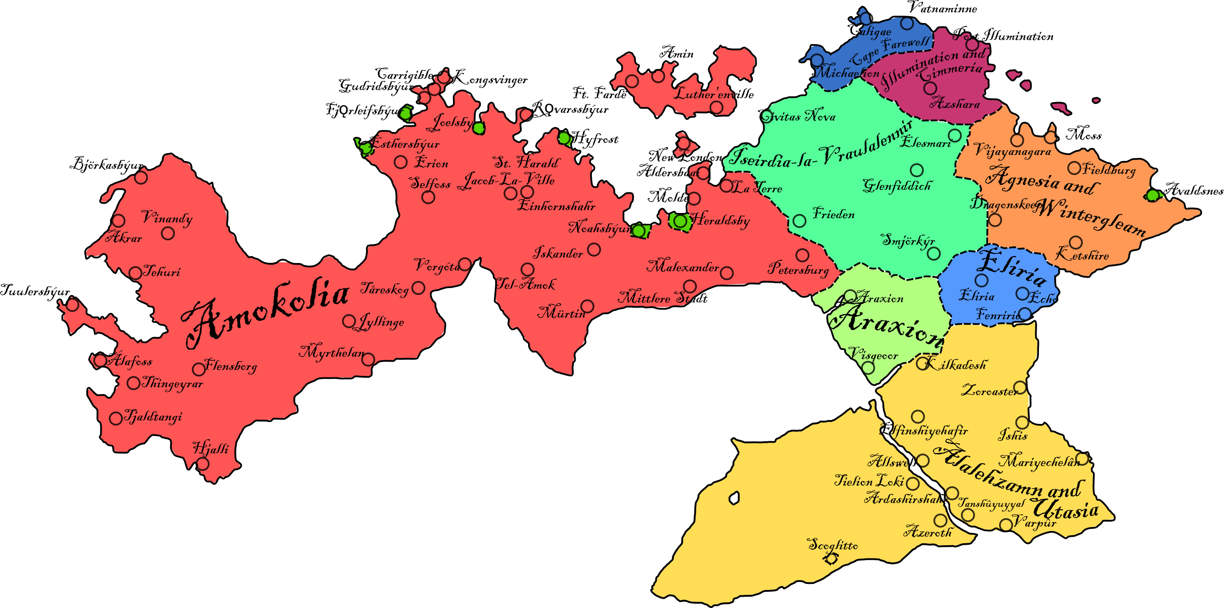
 MalarboriaMap.png 5,325 × 2,601; 141 KB
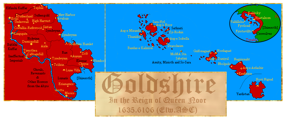 Map of Goldshire.png 933 × 384; 170 KB
 MusicaCounty.png 1,024 × 962; 281 KB
 NewLunMap1.png 1,050 × 1,200; 525 KB
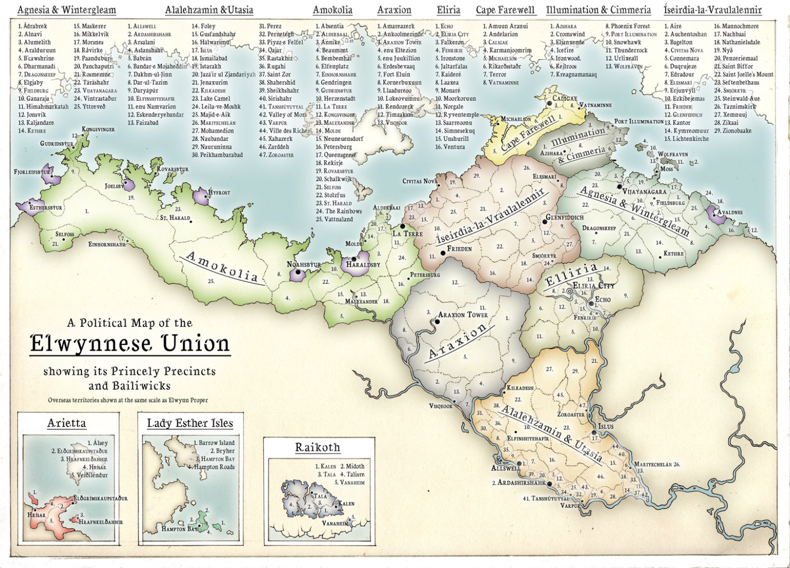 Political Map of Elwynn.jpg 1,599 × 1,149; 679 KB
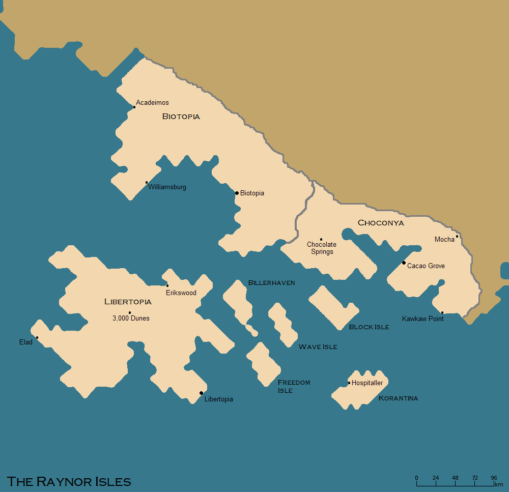 Raynor isles map.png 1,000 × 967; 43 KB
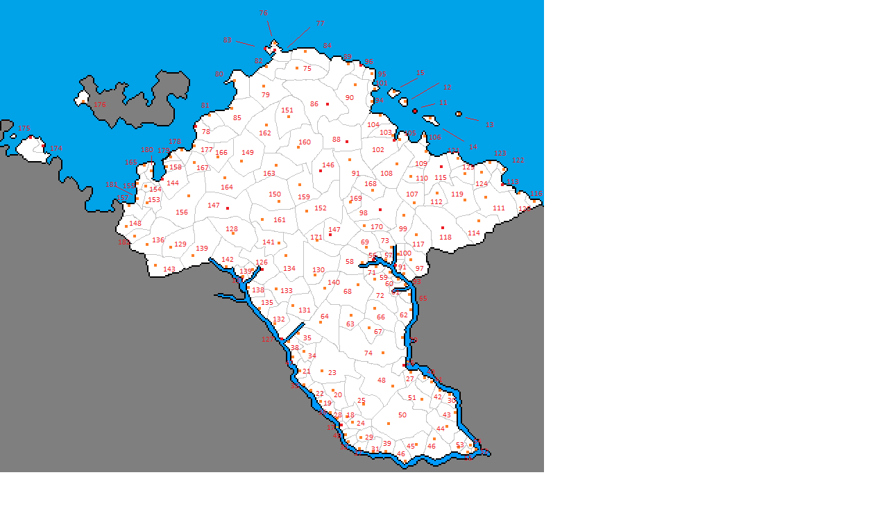
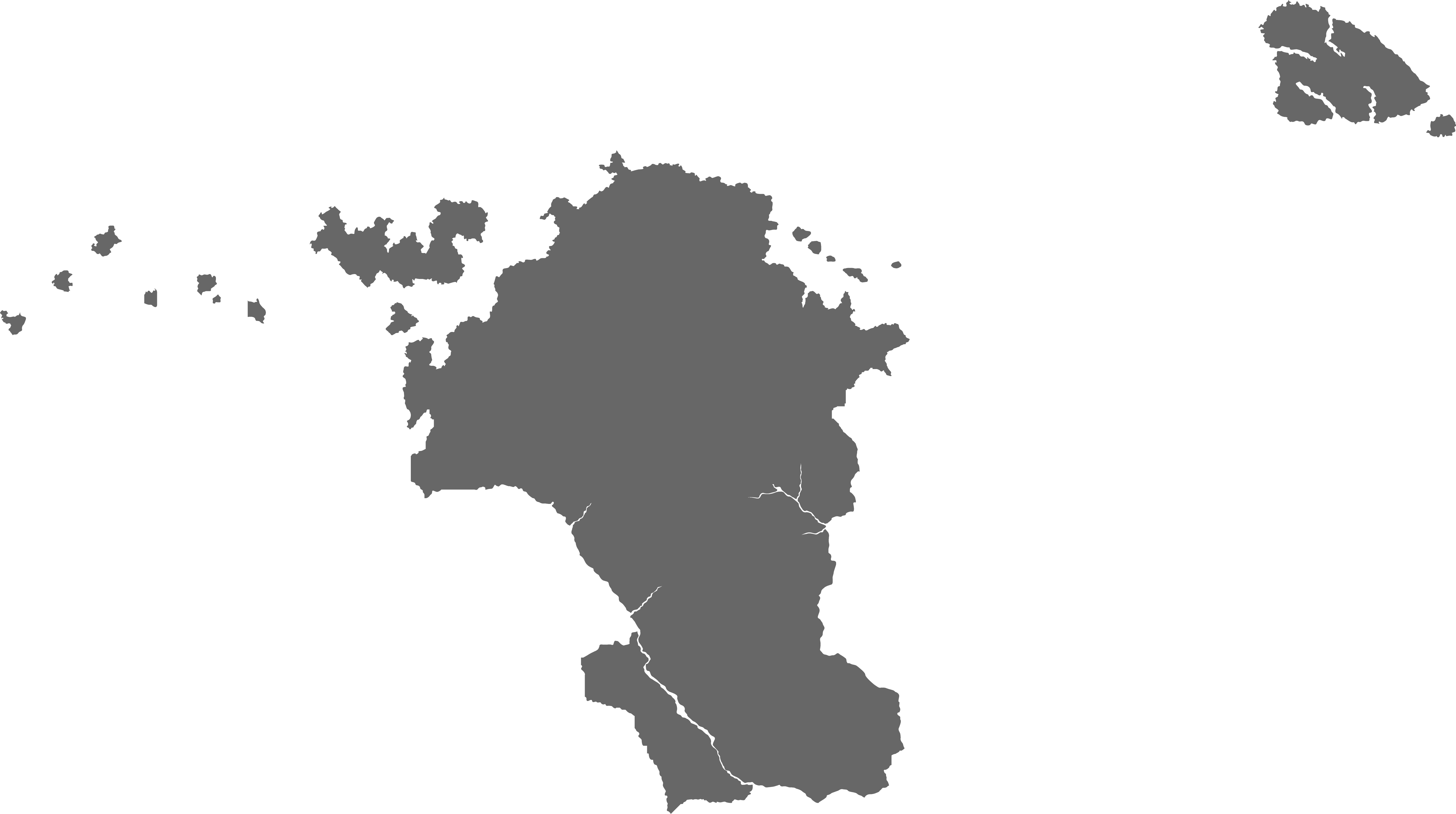
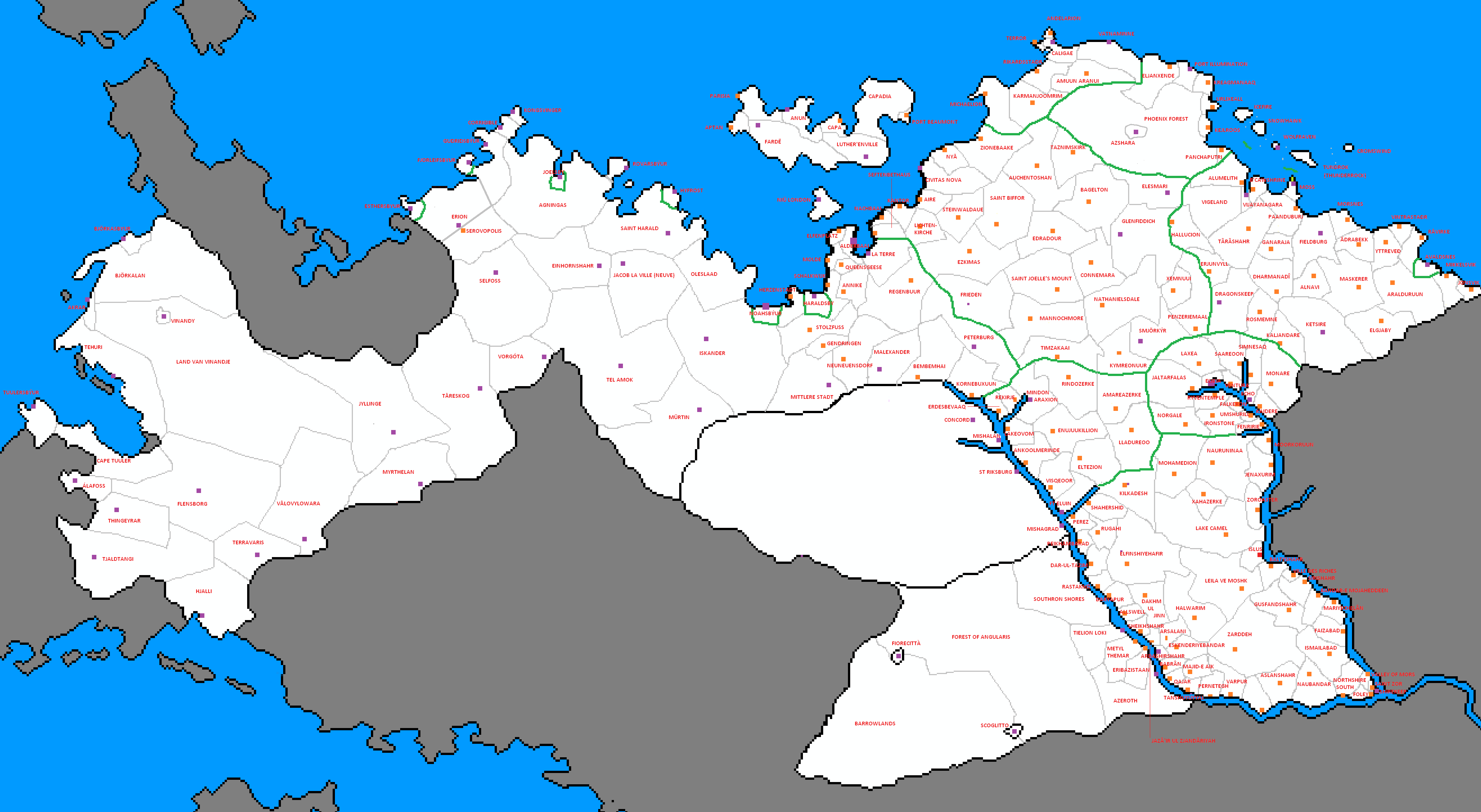
 Shireroth mapCounty1.png 5,301 × 3,455; 293 KB
 So Sara- political- PNG.png 597 × 528; 32 KB
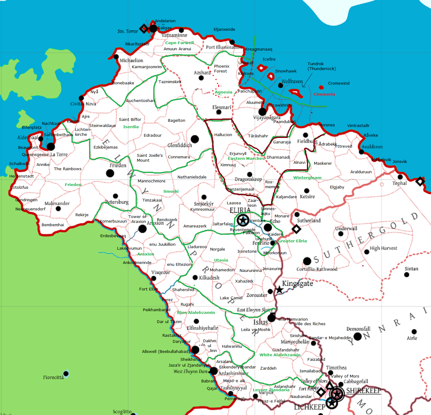
 Subdivisions Elwynn.png 4,128 × 2,350; 282 KB
 Subdivisions Elwynn2.png 3,949 × 2,166; 264 KB
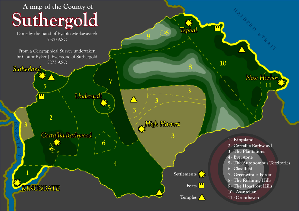 Suthergold5300.png 992 × 700; 232 KB
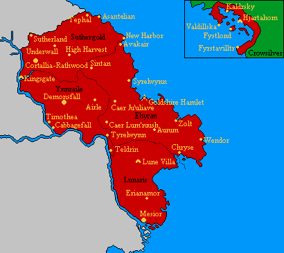
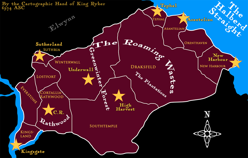 SuthergoldMap1 Named.png 1,050 × 670; 245 KB
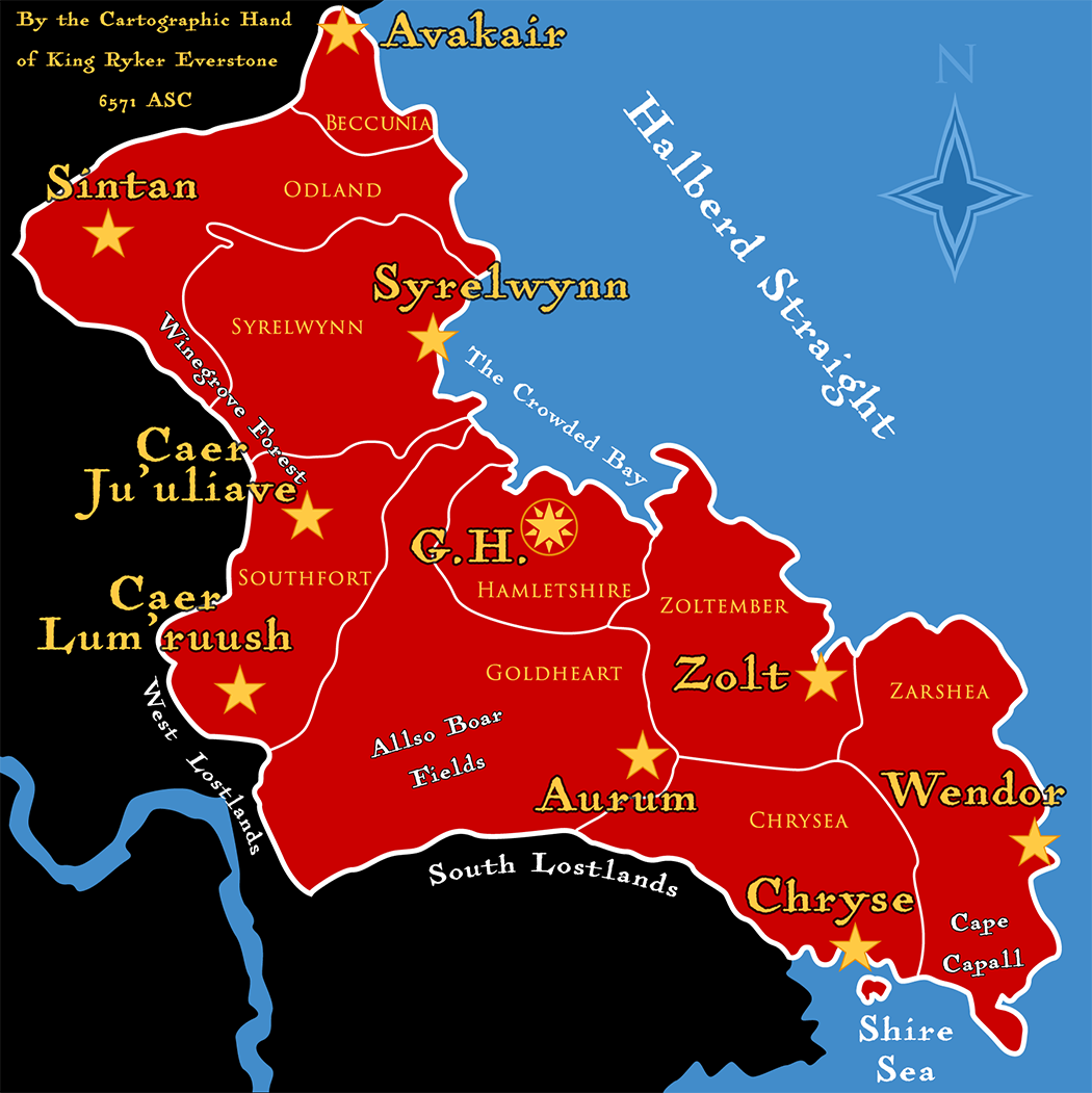
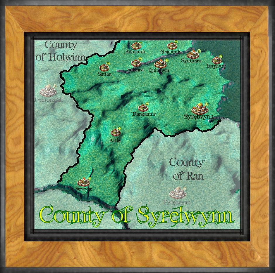 Syrelwynn.jpg 940 × 935; 295 KB
 Vale of Angularis12.png 1,164 × 751; 22 KB
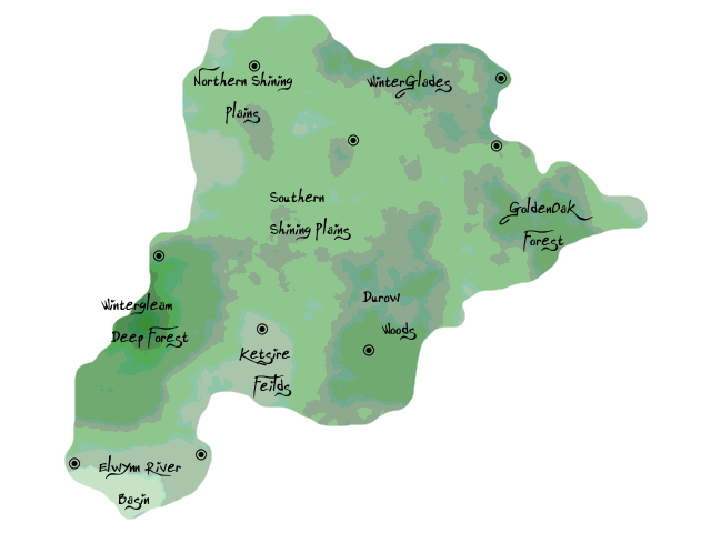 Wintergleam Woods.png 640 × 480; 59 KB
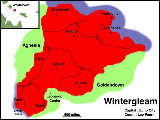 Wintergleam.png 640 × 480; 111 KB
 Ynnrailemap.gif 246 × 248; 5 KB
 YnnraileMap1 templateNamed.png 1,050 × 963; 307 KB


