File:Ap-polmap-1.png
From ShireWiki
Jump to navigationJump to search
Size of this preview: 800 × 421 pixels. Other resolution: 1,024 × 539 pixels.
Original file (1,024 × 539 pixels, file size: 29 KB, MIME type: image/png)
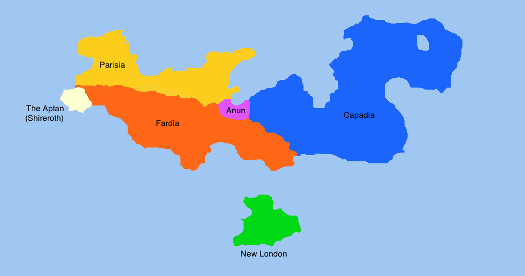
Amokolia Proper, political map, circa 2013
File history
Click on a date/time to view the file as it appeared at that time.
| Date/Time | Thumbnail | Dimensions | User | Comment | |
|---|---|---|---|---|---|
| current | 19:55, 7 March 2016 | | 1,024 × 539 (29 KB) | Vlad (talk | contribs) | Amokolia Proper, political map, circa 2013 |
You cannot overwrite this file.
File usage
There are no pages that use this file.