File:CountyPalatineOfKezan.png: Difference between revisions
From ShireWiki
Jump to navigationJump to search
No edit summary |
No edit summary |
||
| Line 1: | Line 1: | ||
Physical Map, County Palatine of [[Kezan]]. | Physical Map, County Palatine of [[Kezan]]. | ||
[[category: | [[category:Maps]] [[category:Physical]] | ||
Latest revision as of 04:00, 19 August 2017
Physical Map, County Palatine of Kezan.
File history
Click on a date/time to view the file as it appeared at that time.
| Date/Time | Thumbnail | Dimensions | User | Comment | |
|---|---|---|---|---|---|
| current | 03:53, 16 March 2014 |  | 640 × 640 (38 KB) | Octavius (talk | contribs) | |
| 03:48, 16 March 2014 | 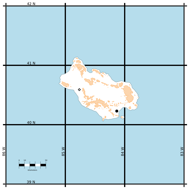 | 640 × 640 (38 KB) | Octavius (talk | contribs) | ||
| 03:47, 16 March 2014 | 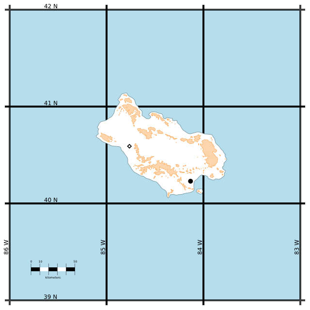 | 640 × 640 (37 KB) | Octavius (talk | contribs) |
You cannot overwrite this file.
File usage
There are no pages that use this file.