File:Amarr Map1.jpg: Difference between revisions
From ShireWiki
Jump to navigationJump to search
(A map of the County Amarr.) |
No edit summary |
||
| (3 intermediate revisions by the same user not shown) | |||
| Line 1: | Line 1: | ||
A map of the County Amarr. | A map of the County Amarr. | ||
[[category:Maps]][[category:Physical]][[category:Historical]] | |||
Latest revision as of 03:56, 19 August 2017
A map of the County Amarr.
File history
Click on a date/time to view the file as it appeared at that time.
| Date/Time | Thumbnail | Dimensions | User | Comment | |
|---|---|---|---|---|---|
| current | 17:32, 27 October 2008 | 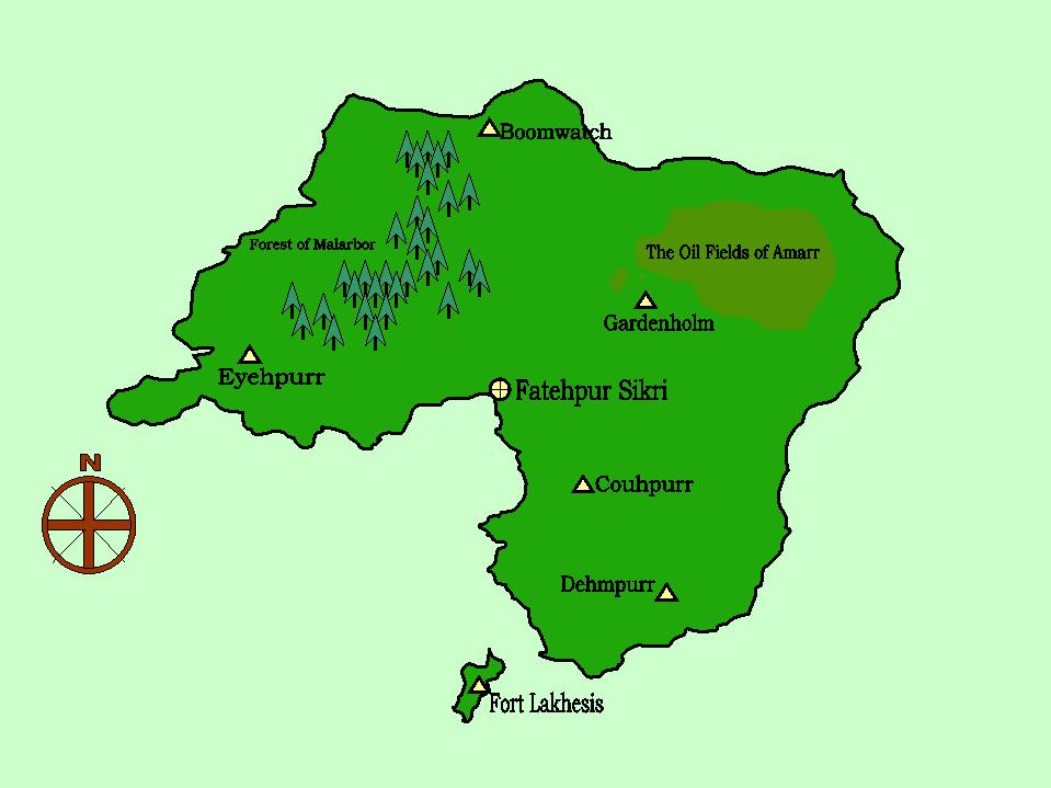 | 959 × 719 (51 KB) | Kingsbury (talk | contribs) | A map of the County Amarr. |
You cannot overwrite this file.
File usage
The following page uses this file: