File:County of Z.png: Difference between revisions
From ShireWiki
Jump to navigationJump to search
No edit summary |
No edit summary |
||
| (2 intermediate revisions by one other user not shown) | |||
| Line 1: | Line 1: | ||
Map of the County of [[Ž]]. | |||
Created by Hadjimehmetov during the reign of [[Kaiser Reynardine I]], circa 3413-3443 ASC (1547-1548 AN). | |||
[[category:Maps]] [[category:Historical]] [[category:Brookshire]] | |||
Latest revision as of 04:00, 19 August 2017
Map of the County of Ž. Created by Hadjimehmetov during the reign of Kaiser Reynardine I, circa 3413-3443 ASC (1547-1548 AN).
File history
Click on a date/time to view the file as it appeared at that time.
| Date/Time | Thumbnail | Dimensions | User | Comment | |
|---|---|---|---|---|---|
| current | 07:22, 11 November 2009 | 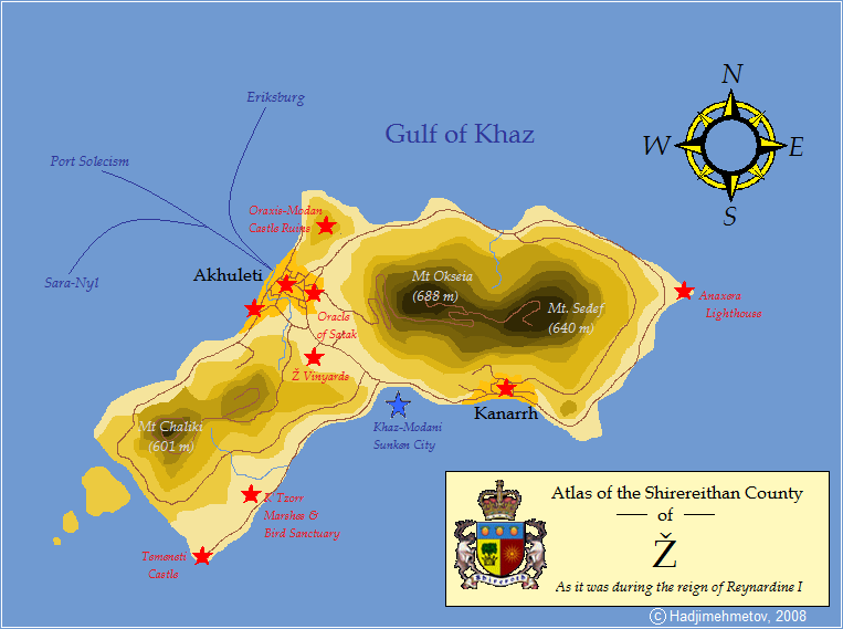 | 763 × 569 (46 KB) | Ari Rahikkala (talk | contribs) |
You cannot overwrite this file.
File usage
The following page uses this file: