File:So Sara- political- PNG.png: Difference between revisions
From ShireWiki
Jump to navigationJump to search
Gman russell (talk | contribs) (Political Map of So-Sara) |
No edit summary |
||
| Line 1: | Line 1: | ||
Political Map of So-Sara | Political Map of So-Sara | ||
[[category:Maps]][[category:Historical]][[category:States]] | |||
Latest revision as of 02:38, 19 August 2017
Political Map of So-Sara
File history
Click on a date/time to view the file as it appeared at that time.
| Date/Time | Thumbnail | Dimensions | User | Comment | |
|---|---|---|---|---|---|
| current | 01:36, 26 February 2010 | 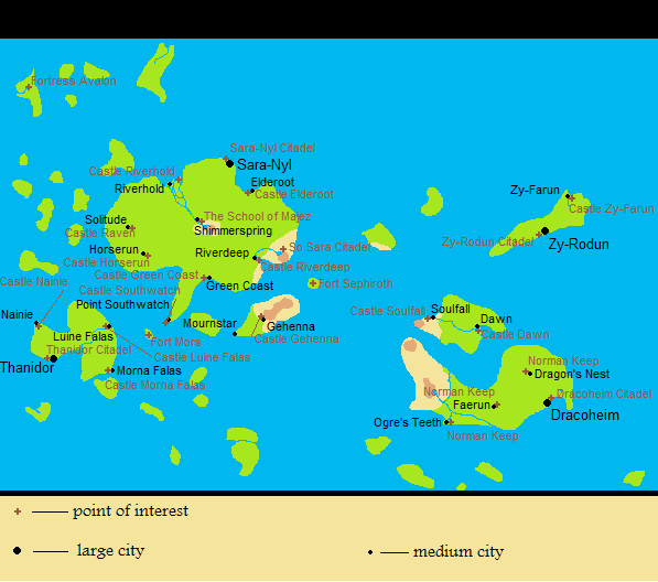 | 597 × 528 (32 KB) | Gman russell (talk | contribs) | Political Map of So-Sara |
You cannot overwrite this file.
File usage
The following page uses this file: