File:Yardpolit.png
From ShireWiki
No higher resolution available.
Yardpolit.png (715 × 527 pixels, file size: 52 KB, MIME type: image/png)
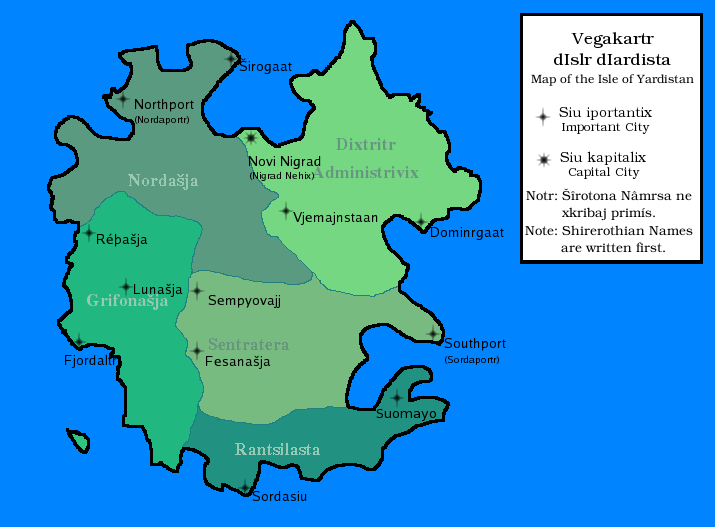
A political map of the Isle of Yardistan, showing important cities in addition to the districts on the island.
File history
Click on a date/time to view the file as it appeared at that time.
| Date/Time | Thumbnail | Dimensions | User | Comment | |
|---|---|---|---|---|---|
| current | 09:12, 28 August 2008 | | 715 × 527 (52 KB) | Gryphonavocatio (talk | contribs) |
- You cannot overwrite this file.
File usage
The following page uses this file: