File:Mishalan physical mapL.png
From ShireWiki
Jump to navigationJump to search
Size of this preview: 729 × 599 pixels. Other resolution: 1,215 × 999 pixels.
Original file (1,215 × 999 pixels, file size: 60 KB, MIME type: image/png)
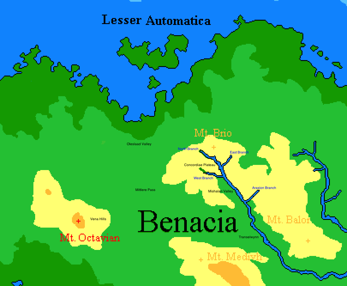
Physical map of the Mishalan region with labels.
File history
Click on a date/time to view the file as it appeared at that time.
| Date/Time | Thumbnail | Dimensions | User | Comment | |
|---|---|---|---|---|---|
| current | 13:26, 2 January 2016 | | 1,215 × 999 (60 KB) | Vlad (talk | contribs) | Physical map of the Mishalan region with labels. |
You cannot overwrite this file.
File usage
There are no pages that use this file.