File:GreaterShirekeep.png
From ShireWiki
Size of this preview: 800 × 533 pixels. Other resolutions: 320 × 213 pixels | 1,200 × 800 pixels.
Original file (1,200 × 800 pixels, file size: 56 KB, MIME type: image/png)
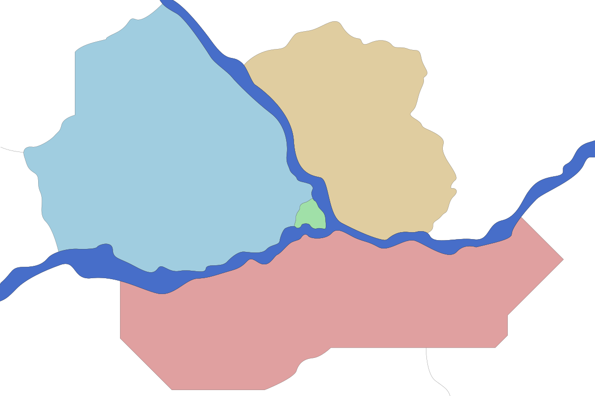
Map of the Greater Shirekeep Area.
- Green: Inner Shirekeep, City of Shirekeep
- Yellow: Kabeshire, County of Ynnraile (Goldshire)
- Blue: Elwynnese Quarters, City of Shirekeep
- Red: Lichkeep Quarters, City of Shirekeep
File history
Click on a date/time to view the file as it appeared at that time.
| Date/Time | Thumbnail | Dimensions | User | Comment | |
|---|---|---|---|---|---|
| current | 05:23, 25 September 2017 | | 1,200 × 800 (56 KB) | Mira octavius-aryani (talk | contribs) | Map of the Greater Shirekeep Area. Green: Inner Shirekeep, City of Shirekeep Yellow: Kabeshire, County of Ynnraile (Goldshire) Blue: Elwynnese Quarters, City of Shirekeep Red: Lichkeep Quarters, City of Shirekeep Category:Maps Category:Shirekeep |
- You cannot overwrite this file.
File usage
There are no pages that use this file.