The Imperial Republic of Shireroth
Skip to content
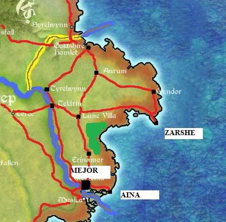
Post by AryezturMejorkhor » Sun Dec 13, 2009 6:11 pm
Return to “County of Parvatvana”
Users browsing this forum: No registered users and 10 guests