Category:Maps
From ShireWiki
Here be (irradiated) dragons...
Pages in category "Maps"
The following 4 pages are in this category, out of 4 total.
Media in category "Maps"
The following 144 files are in this category, out of 144 total.
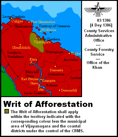 1386-03 Afforestation Order.PNG 397 × 460; 26 KB
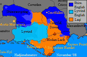
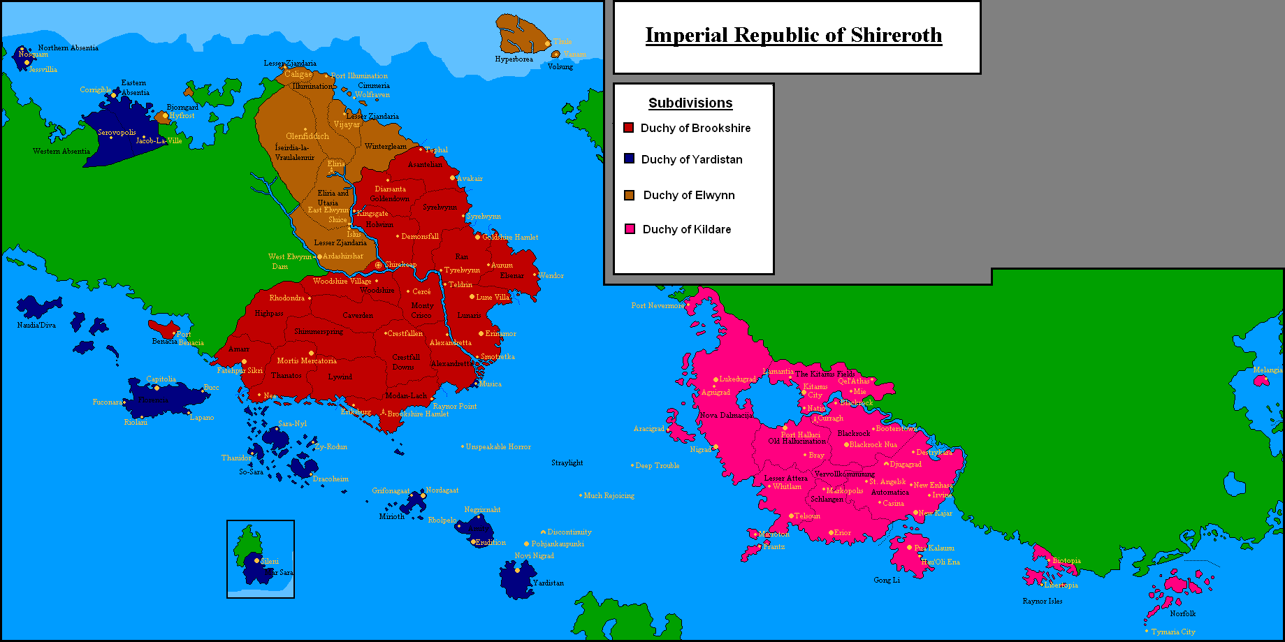
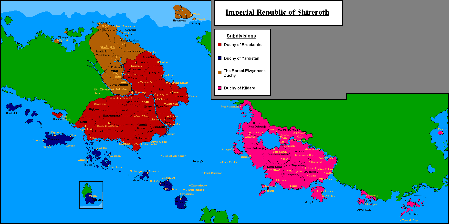
 3duch.png 800 × 461; 256 KB
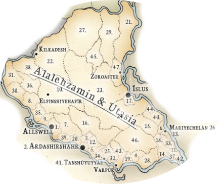 Alalehzamin map.png 443 × 364; 261 KB
 Altar.png 360 × 434; 34 KB
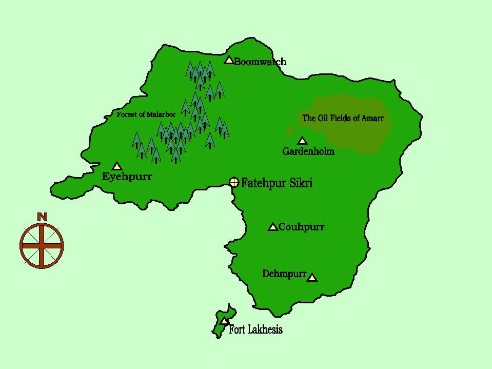 Amarr Map1.jpg 959 × 719; 51 KB
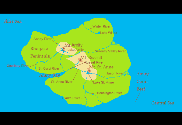 Amity- physcial- PNG.png 598 × 413; 19 KB
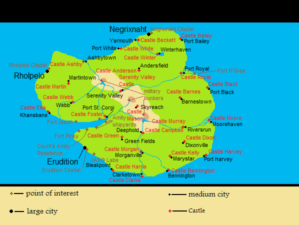 Amity- political- PNG.png 598 × 450; 35 KB
 Amokolia Expansion6.png 461 × 605; 21 KB
 Apolloniaphys.PNG 190 × 121; 27 KB
 Ardashirshahr Stage 1.png 800 × 600; 1,018 KB
 Ardashirshahr.png 793 × 1,121; 89 KB
 Asha.jpg 657 × 487; 61 KB
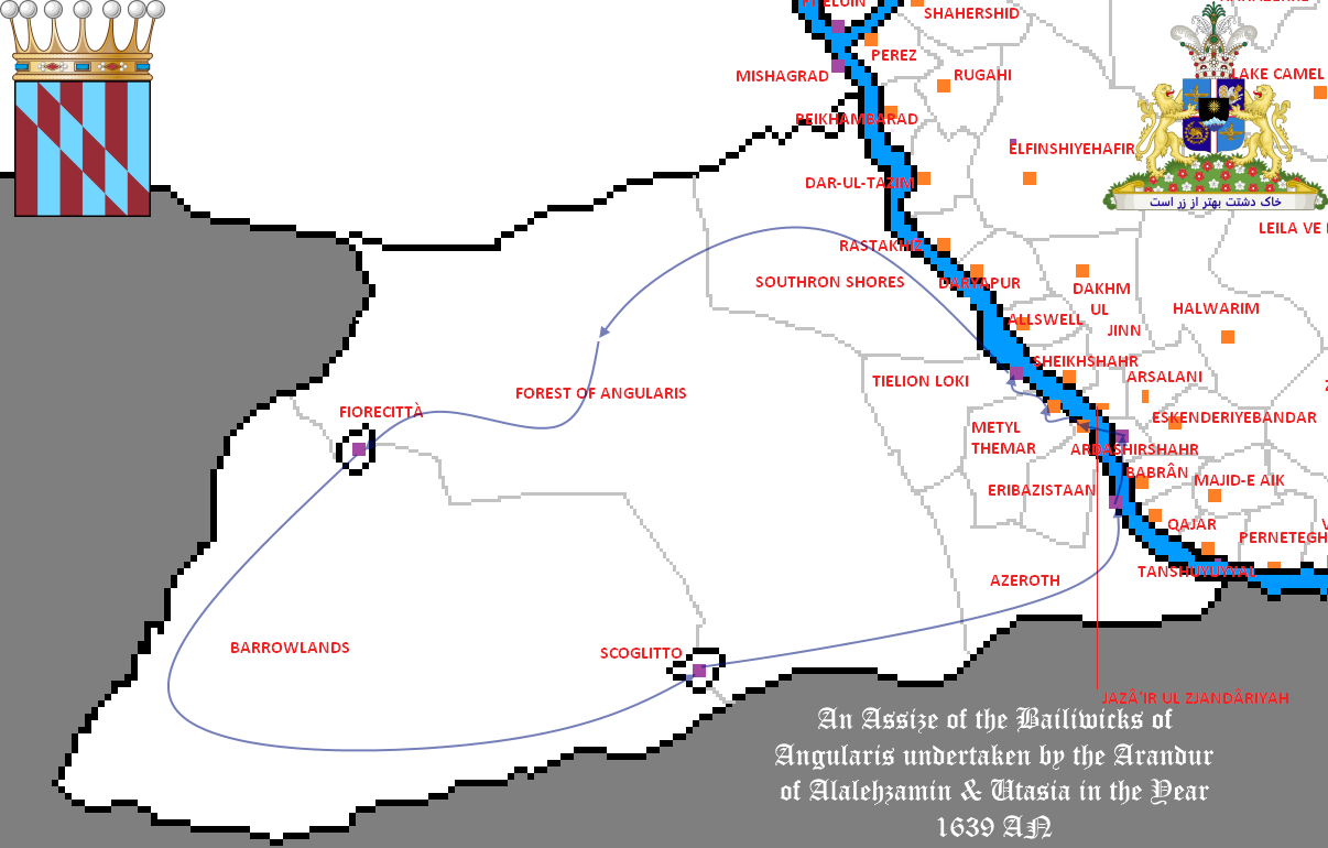 Assize 1639.png 1,206 × 770; 149 KB
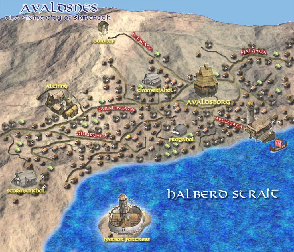 Avaldsnes Map.jpg 1,031 × 884; 257 KB
 Batavia Gewesten.PNG 1,350 × 1,465; 125 KB
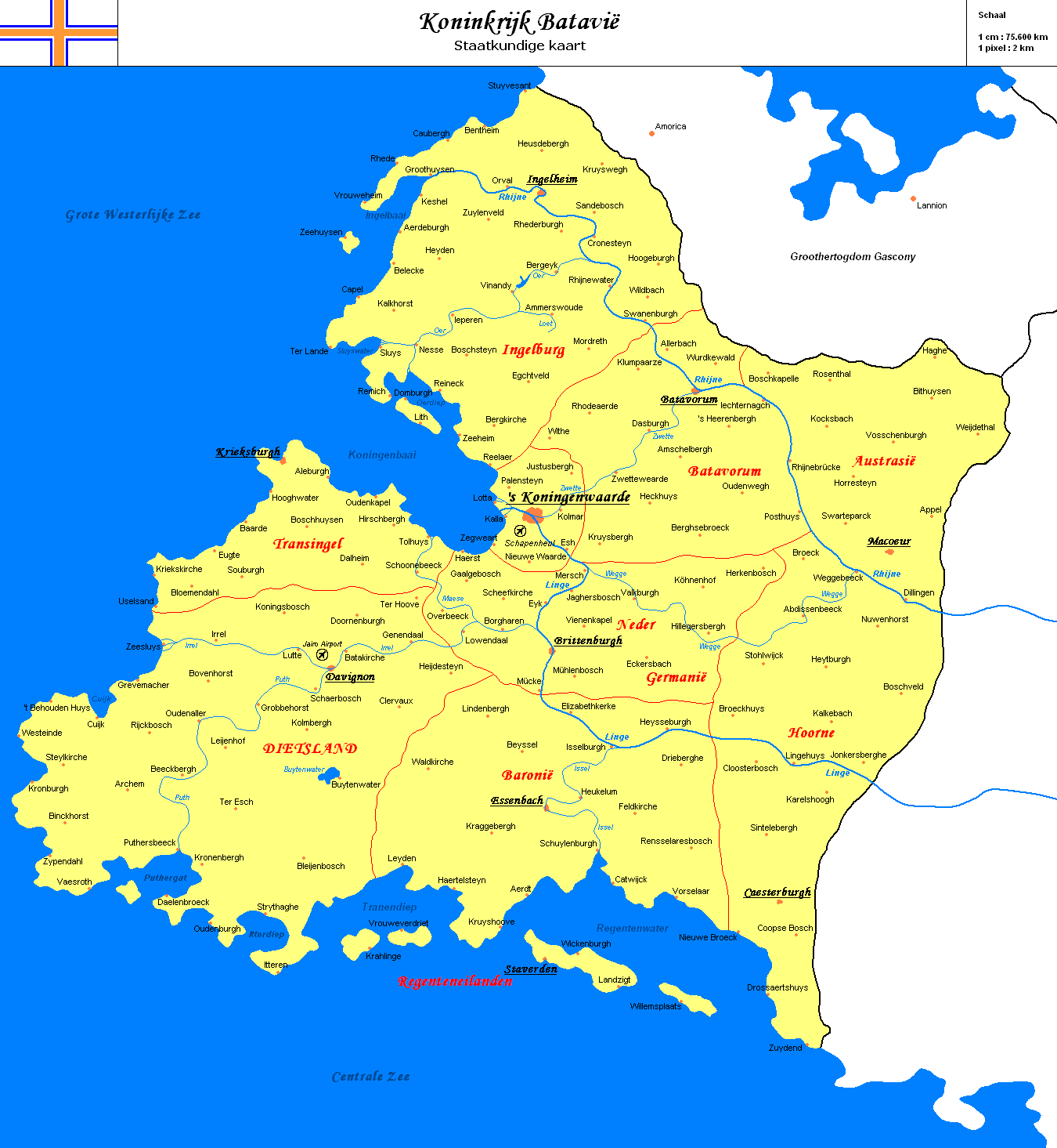
 BataviaMAP.png 2,728 × 3,334; 107 KB
 Battle of Shirekeep Day 2.png 4,300 × 3,600; 2.19 MB
 Bras.png 615 × 442; 24 KB
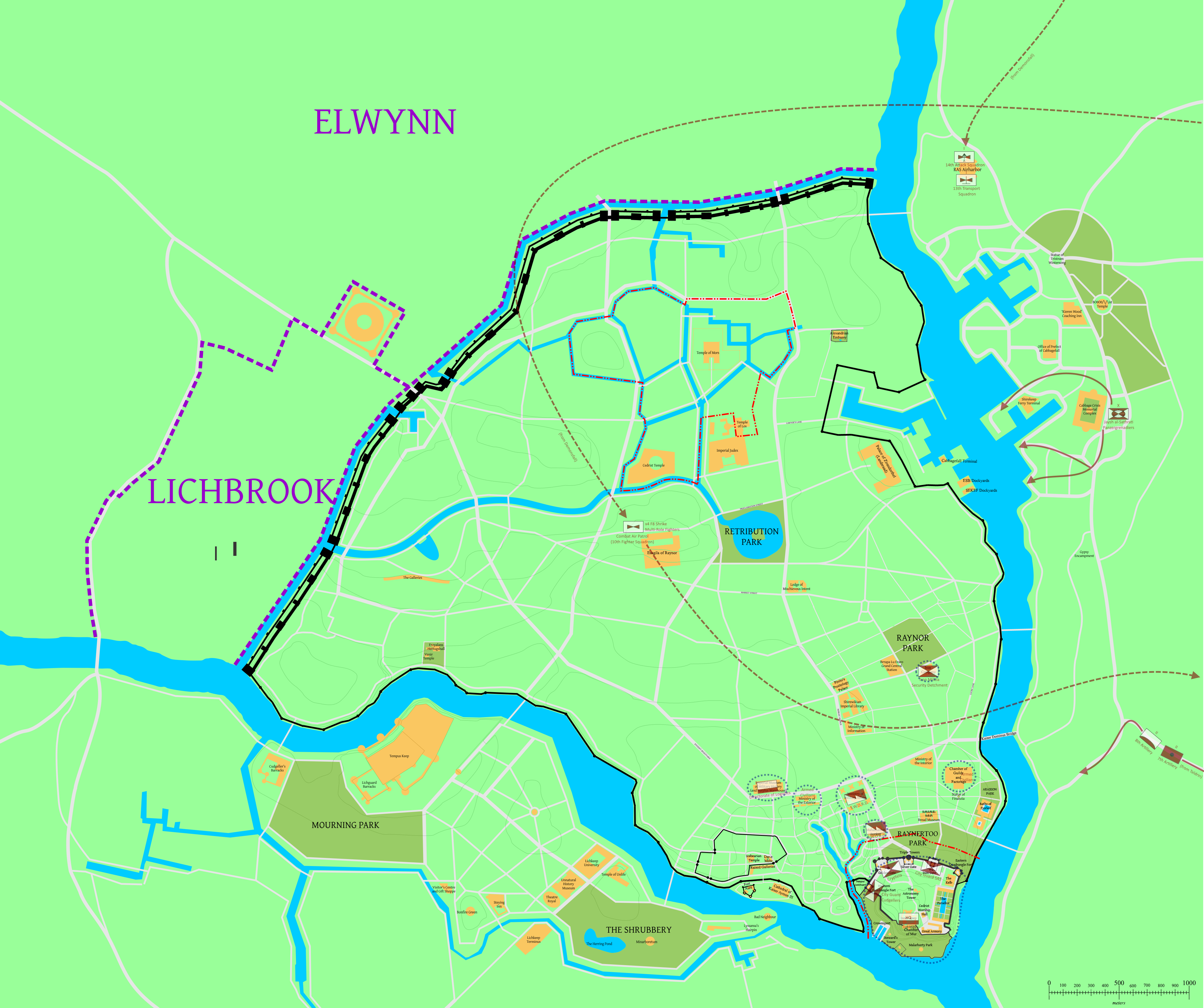
 Brookshire Hamlet Map DRAFT.png 1,065 × 705; 111 KB
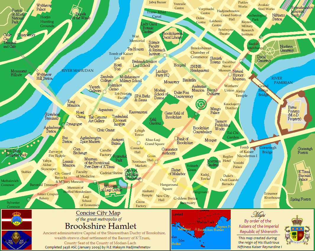 Brookshire Hamlet Mappahe- final.png 1,065 × 850; 219 KB
 BrookshireMap.png 4,237 × 3,356; 110 KB
 Concordia map.png 319 × 283; 9 KB
 County of Z.png 763 × 569; 46 KB
 CountyPalatineOfKezan.png 640 × 640; 38 KB
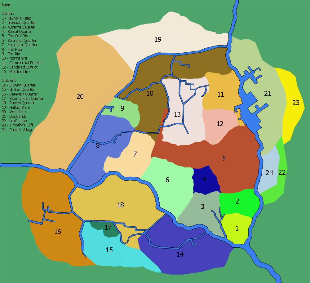
 CPoK Wards.png 840 × 720; 143 KB
 CPSMap.png 4,302 × 3,389; 128 KB
 CrowsilverMap1.png 1,000 × 832; 334 KB
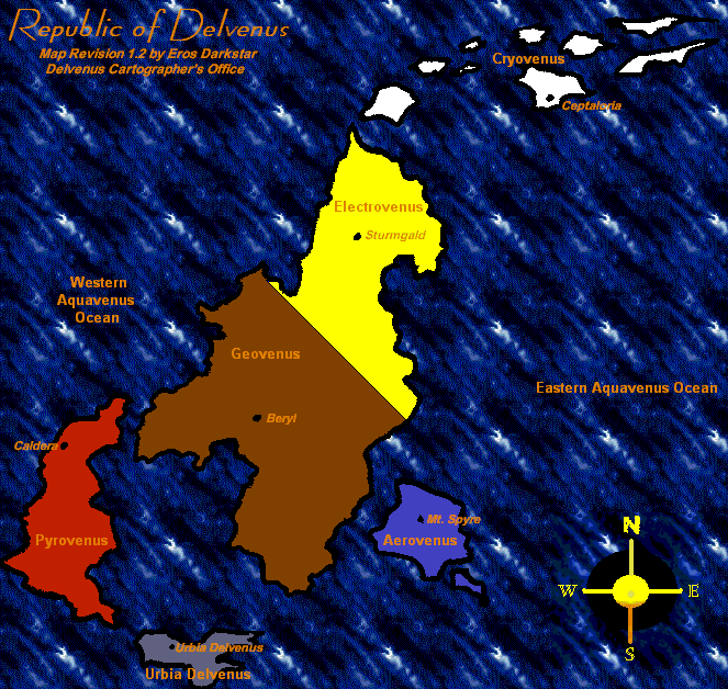 Delvenus2.png 663 × 628; 90 KB
 Dolor.rail.png 305 × 215; 10 KB
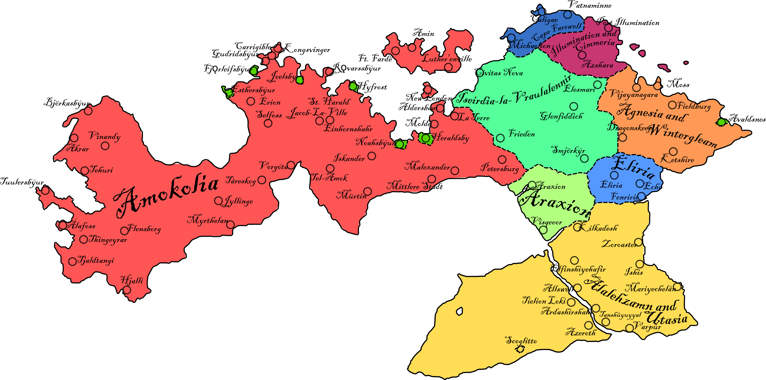
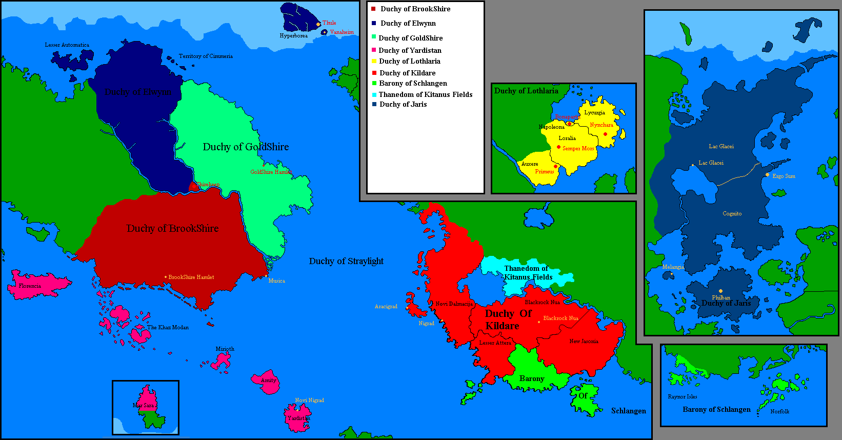
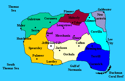
 Duchies of Shireroth.png 1,981 × 1,002; 254 KB
 EchoCity.jpg 660 × 510; 694 KB
 ElsyranMap1 templateNamed.png 1,050 × 1,051; 434 KB
 Elwcircles.png 1,417 × 1,363; 803 KB
 Elwmuni2.png 1,274 × 733; 59 KB
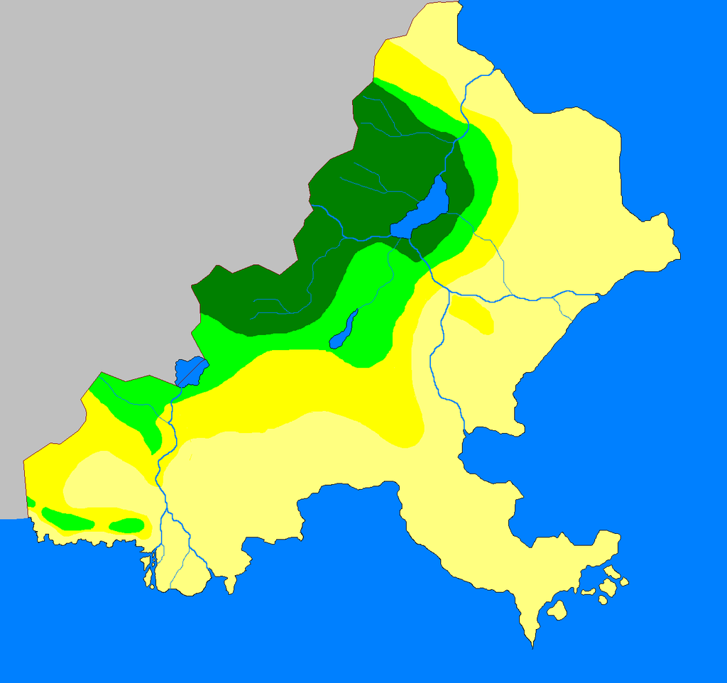
 Elwynn eco.png 1,376 × 784; 60 KB
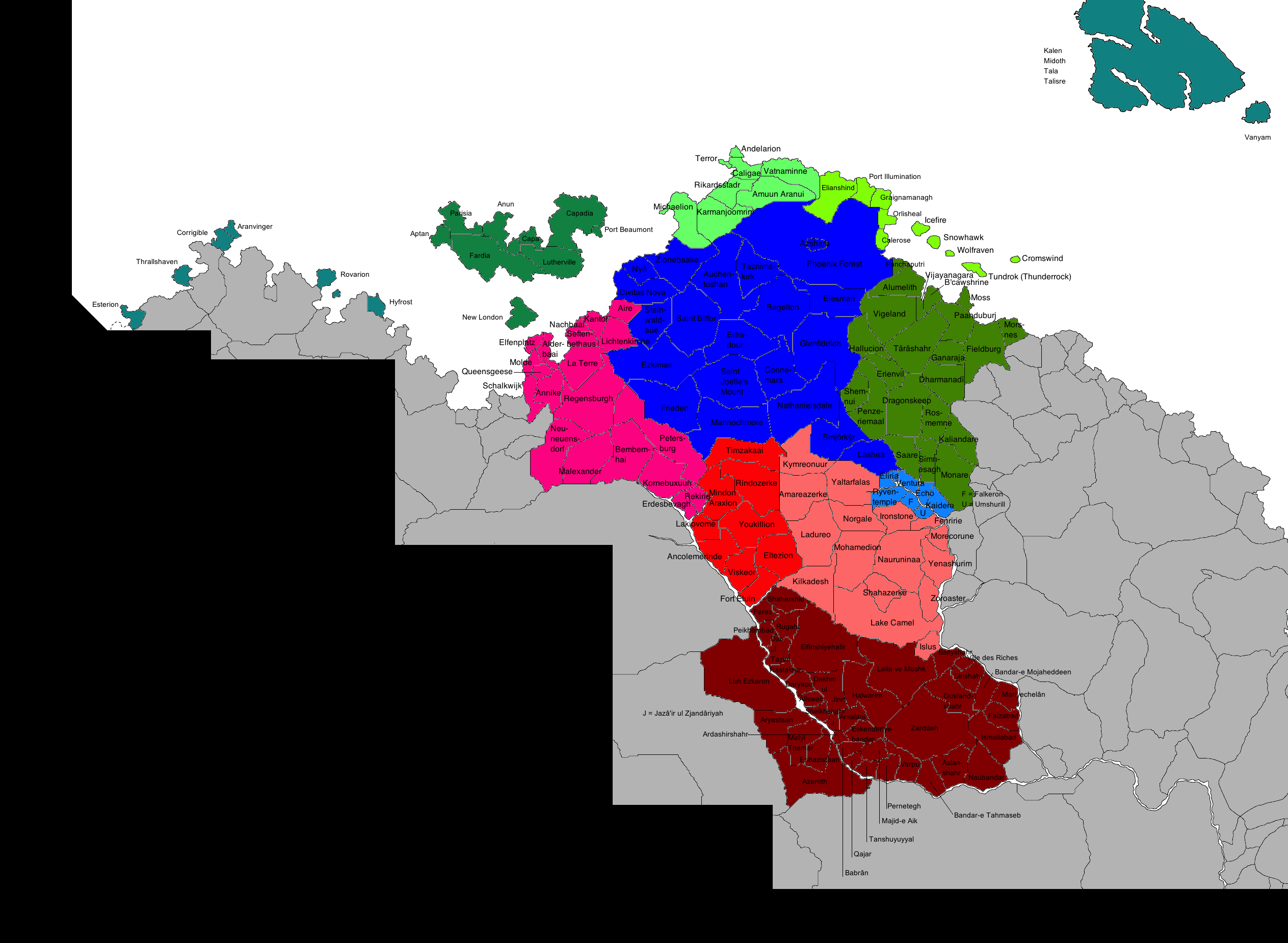 ElwynnCountiesAndBailiwicks.png 2,527 × 1,850; 574 KB
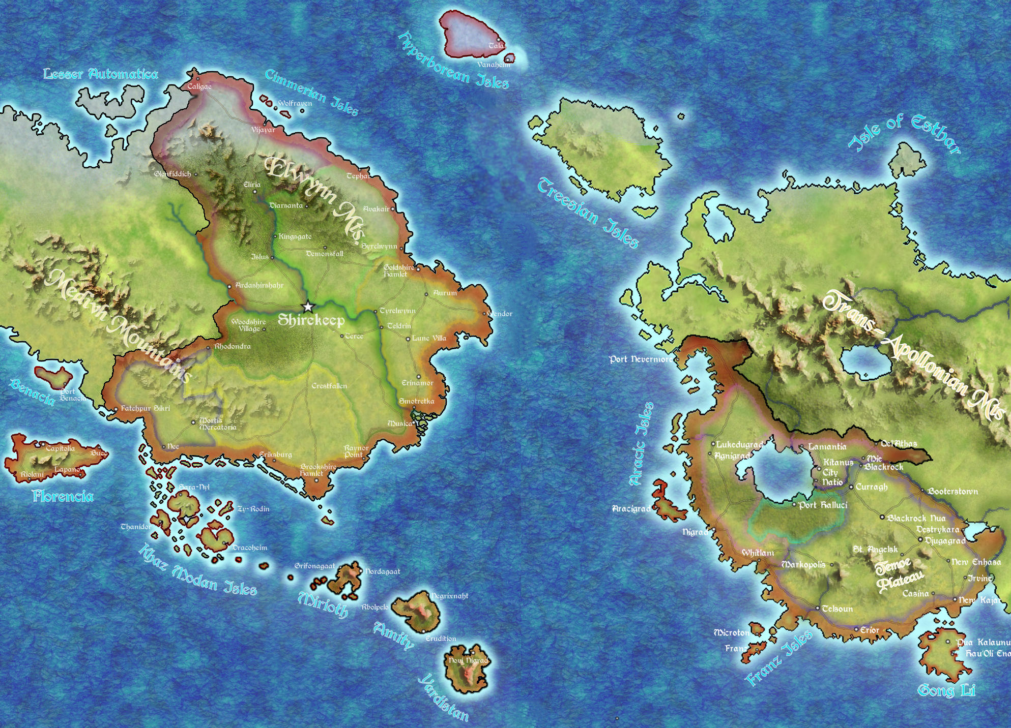
 ElwynnMap.png 5,334 × 2,982; 133 KB
 Elwynnmap1reg.png 708 × 479; 29 KB
 EmirateMap.png 5,233 × 3,502; 140 KB
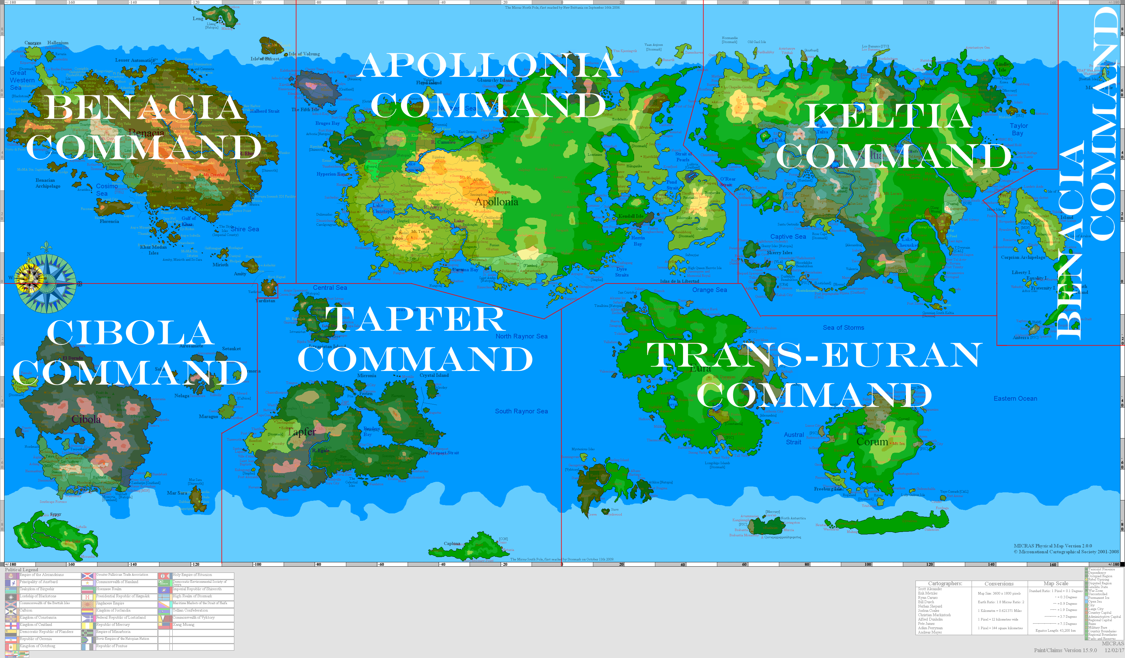
 Empire.PNG 3,600 × 1,800; 224 KB
 Eriksburg map.png 681 × 565; 76 KB
 Fifth Isle Theatre.png 3,969 × 4,964; 7.81 MB
 FNPMap.png 3,797 × 3,381; 91 KB
 Goldshire islands labelled.png 1,794 × 1,148; 73 KB
 Goldshire Palace Above.png 800 × 710; 87 KB
 Goldshire Palace Grounds.png 800 × 721; 188 KB
 GreaterShirekeep.png 1,200 × 800; 56 KB
 GSEthnicity.png 2,137 × 2,740; 481 KB
 GSMap1.png 410 × 365; 14 KB
 GSMapBorderTemplate1.png 1,008 × 1,295; 65 KB
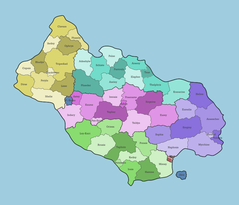
 Gwyneth Map of Elwynn.png 2,494 × 1,239; 529 KB
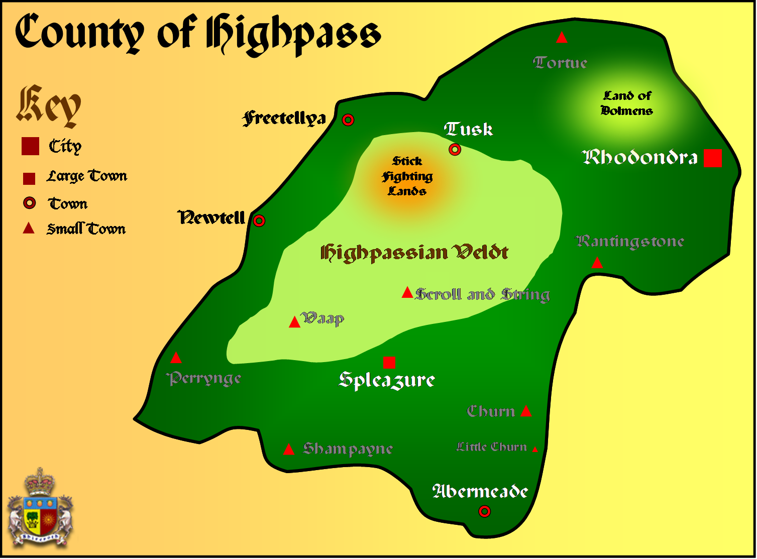 Highpass Map.png 1,507 × 1,113; 353 KB
 Jingdao map.png 283 × 263; 6 KB
 KaartvFriebant.png 620 × 996; 31 KB
 Kalirmap.PNG 499 × 606; 22 KB
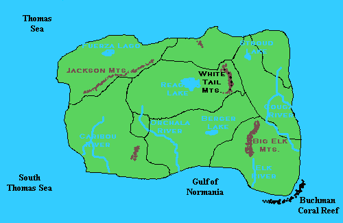
 Karalakh Terrain Map.png 300 × 200; 7 KB
 Khaz modan.gif 866 × 858; 18 KB
 Kildare4.PNG 997 × 570; 212 KB
 Ktzunispeech.png 283 × 187; 9 KB
 Lakhesis topographical borders.png 804 × 594; 13 KB
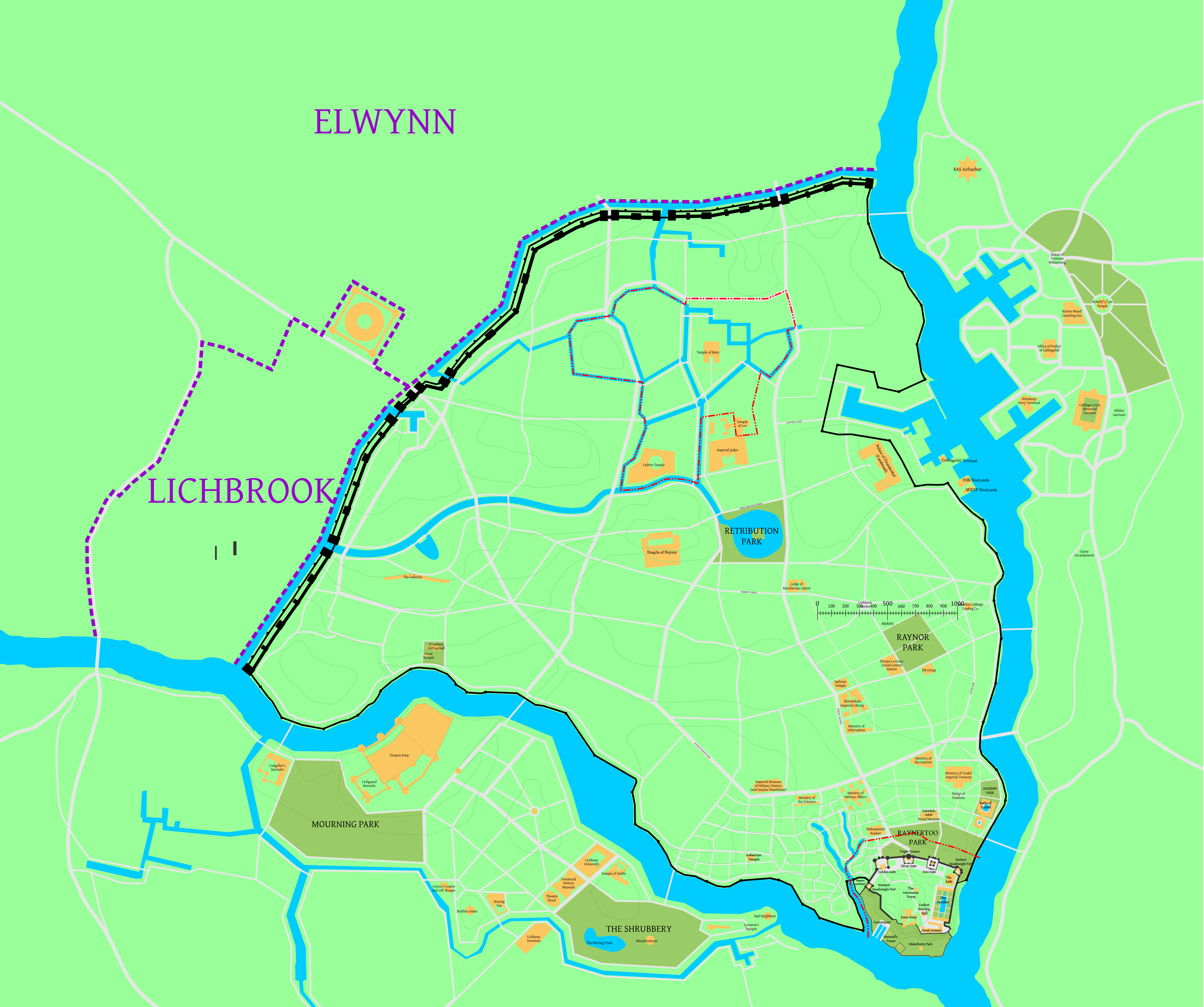
 Lichbrook 1650.png 608 × 325; 14 KB
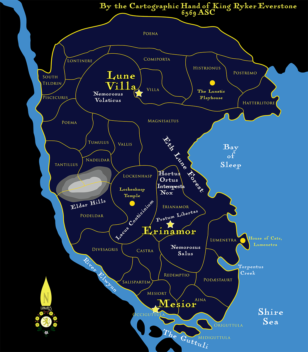
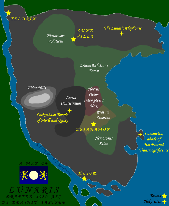 Lunarismap4980.png 659 × 800; 118 KB
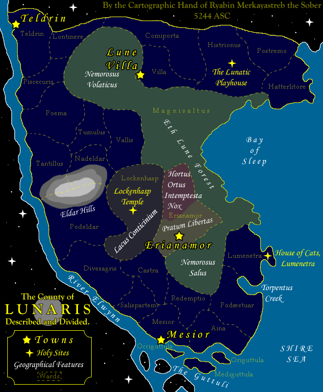 Lunarismap5244.png 659 × 800; 160 KB
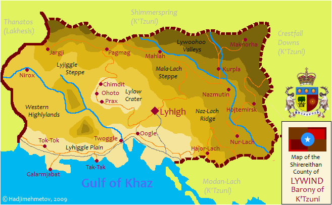 Lywind Map.png 657 × 406; 57 KB
 MalarboriaMap.png 5,325 × 2,601; 141 KB
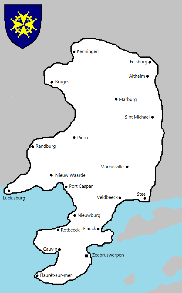
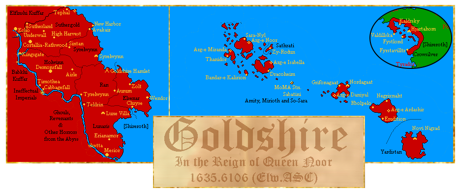 Map of Goldshire.png 933 × 384; 170 KB
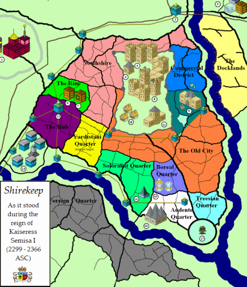
 Map shirekeep example 1.png 1,000 × 913; 163 KB
 Mapfm2.gif 574 × 334; 10 KB
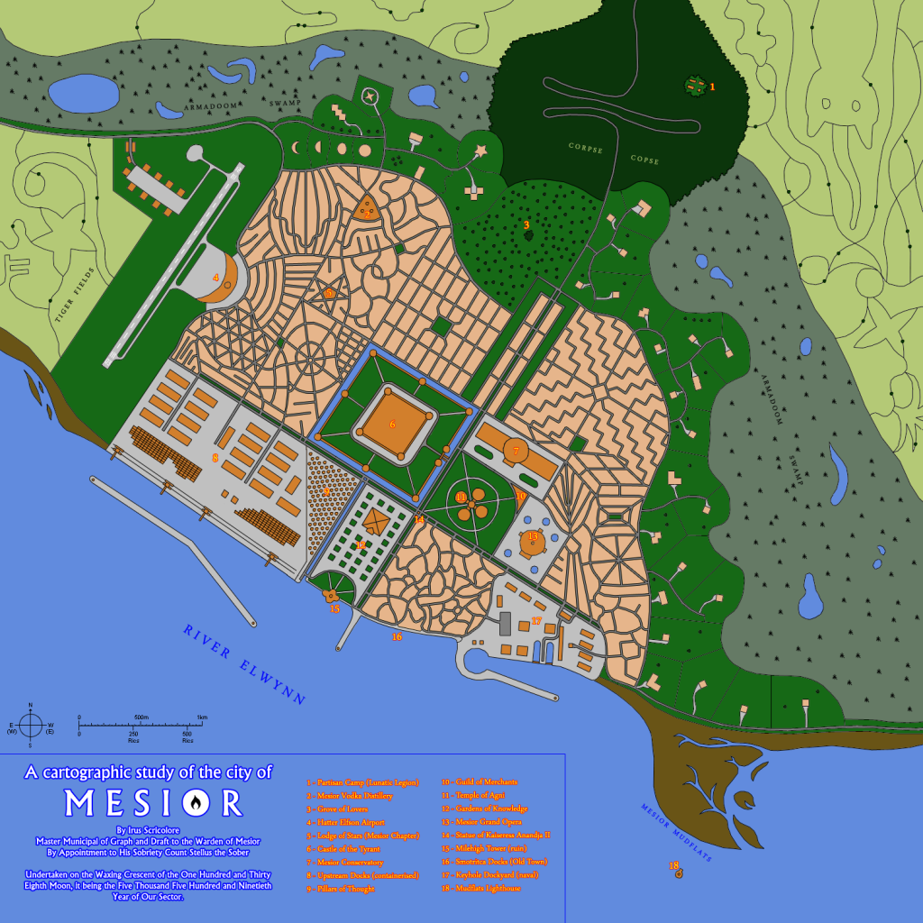 Mesiormap.png 1,024 × 1,024; 797 KB
 MilGovMap.png 4,447 × 2,990; 93 KB
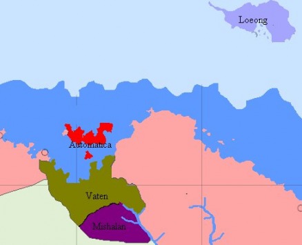
 MishalanMap.png 5,301 × 2,798; 99 KB
 MLZ.png 575 × 639; 277 KB
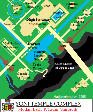
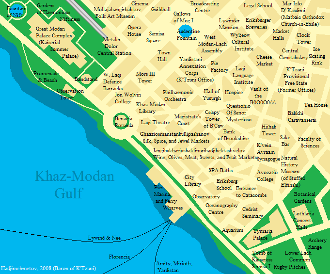
 Modan lach-map.png 632 × 474; 53 KB
 MusicaCounty topo.png 1,024 × 962; 352 KB
 MusicaCounty.png 1,024 × 962; 281 KB
 NewCity4.png 4,300 × 3,600; 1.98 MB
 NewLunMap1.png 1,050 × 1,200; 525 KB
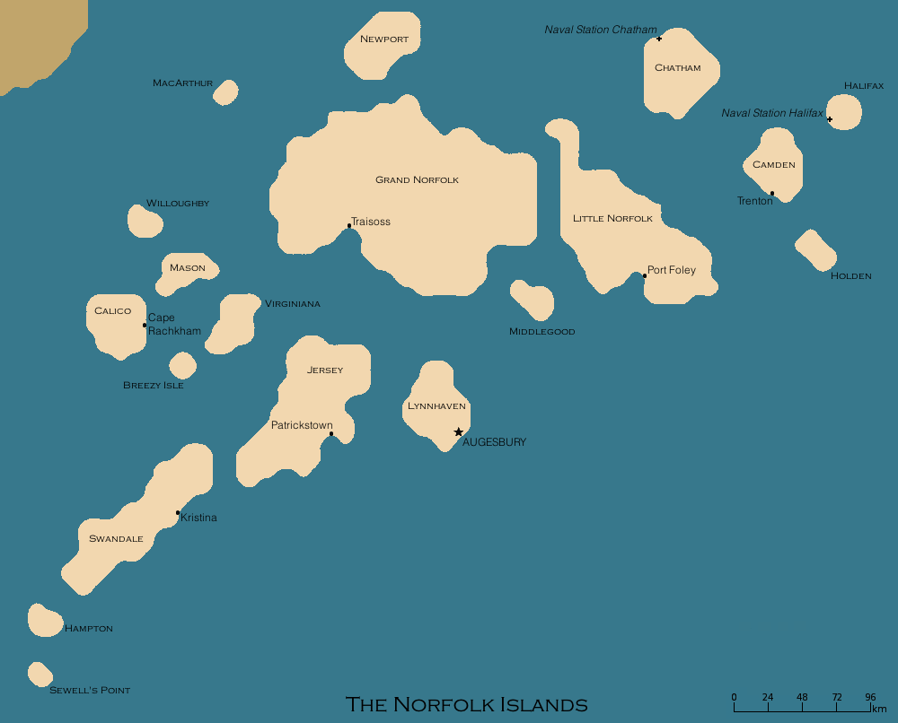 Norfolkbigmap.png 1,000 × 806; 65 KB
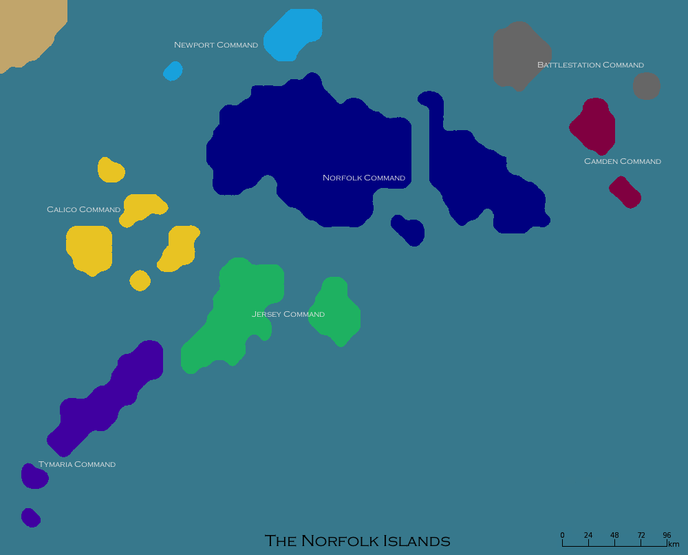 Norfolkcommandsmap.png 1,000 × 806; 46 KB
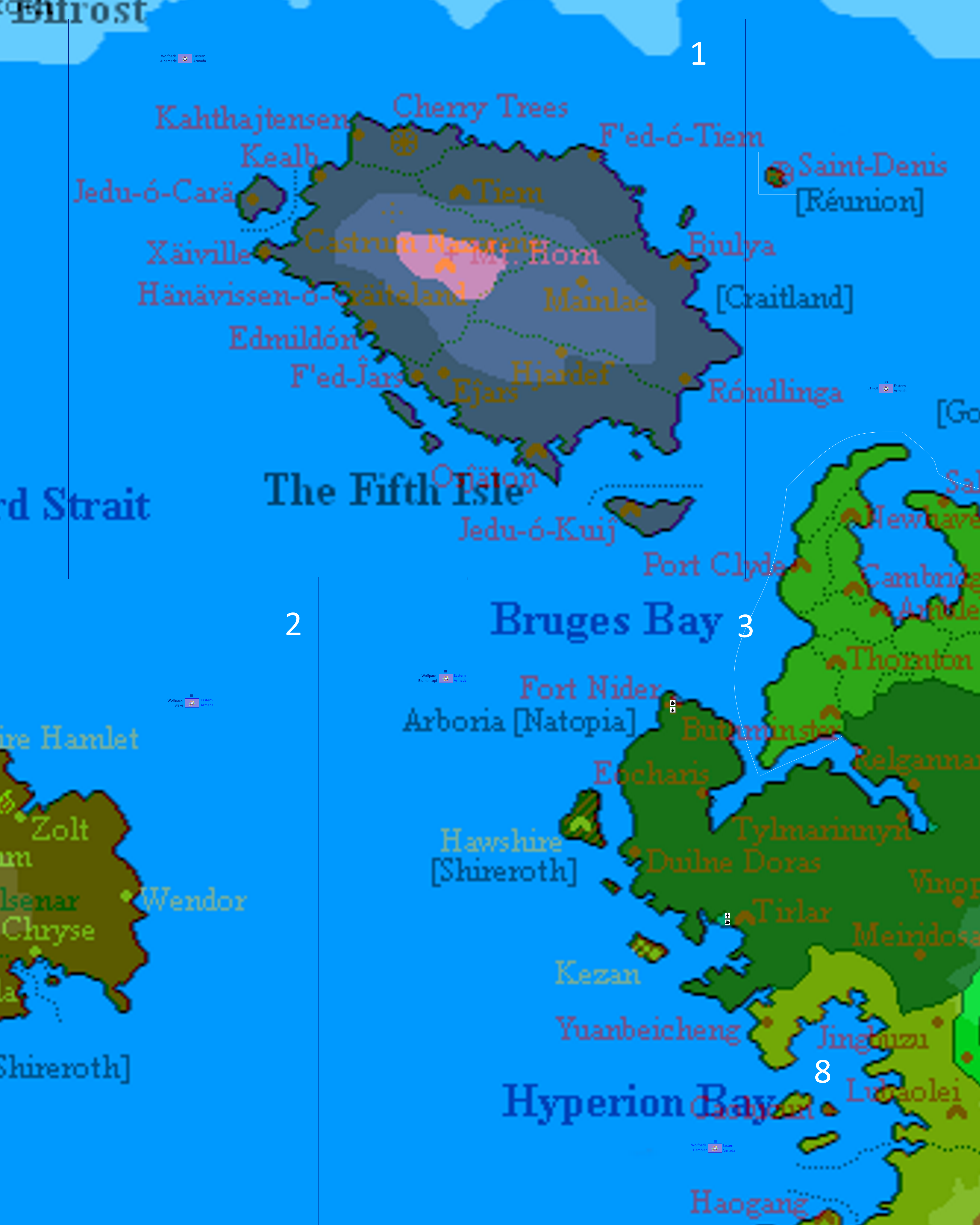
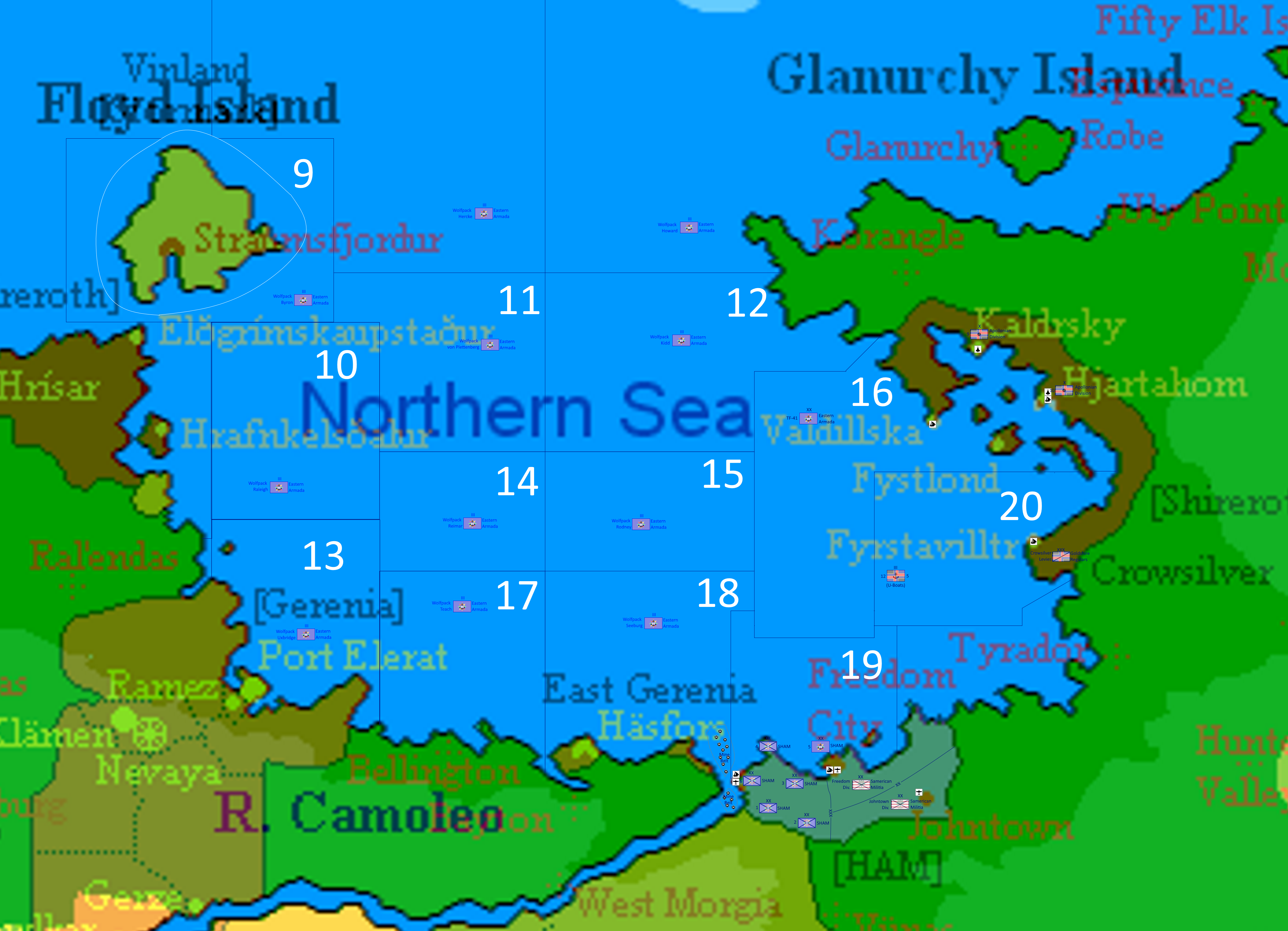 Northern Sea Theatre.png 4,155 × 3,002; 5.87 MB
 OleslaadMap.png 4,128 × 3,446; 117 KB
 Op Retribution 10.XIV.1644.png 992 × 700; 195 KB
 Operation Mockingbird.png 1,621 × 1,417; 147 KB
 Partition of Elwynn.png 1,376 × 784; 98 KB
 Political Map of Elwynn.jpg 1,599 × 1,149; 679 KB
 Proposal Duchies 4146 ASC.png 1,981 × 1,002; 108 KB
 Rai map.jpg 391 × 314; 38 KB
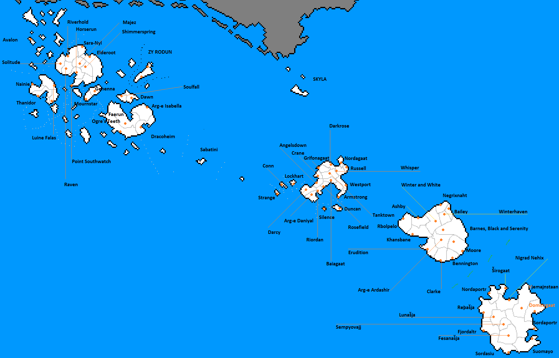
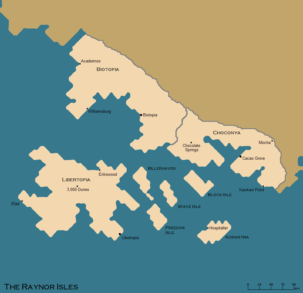 Raynor isles map.png 1,000 × 967; 43 KB
 Reucapitas.jpg 283 × 278; 64 KB
 SANE Theatre Commands.png 3,630 × 2,125; 926 KB
 ShireAir.domestic.core.png 1,987 × 1,574; 316 KB
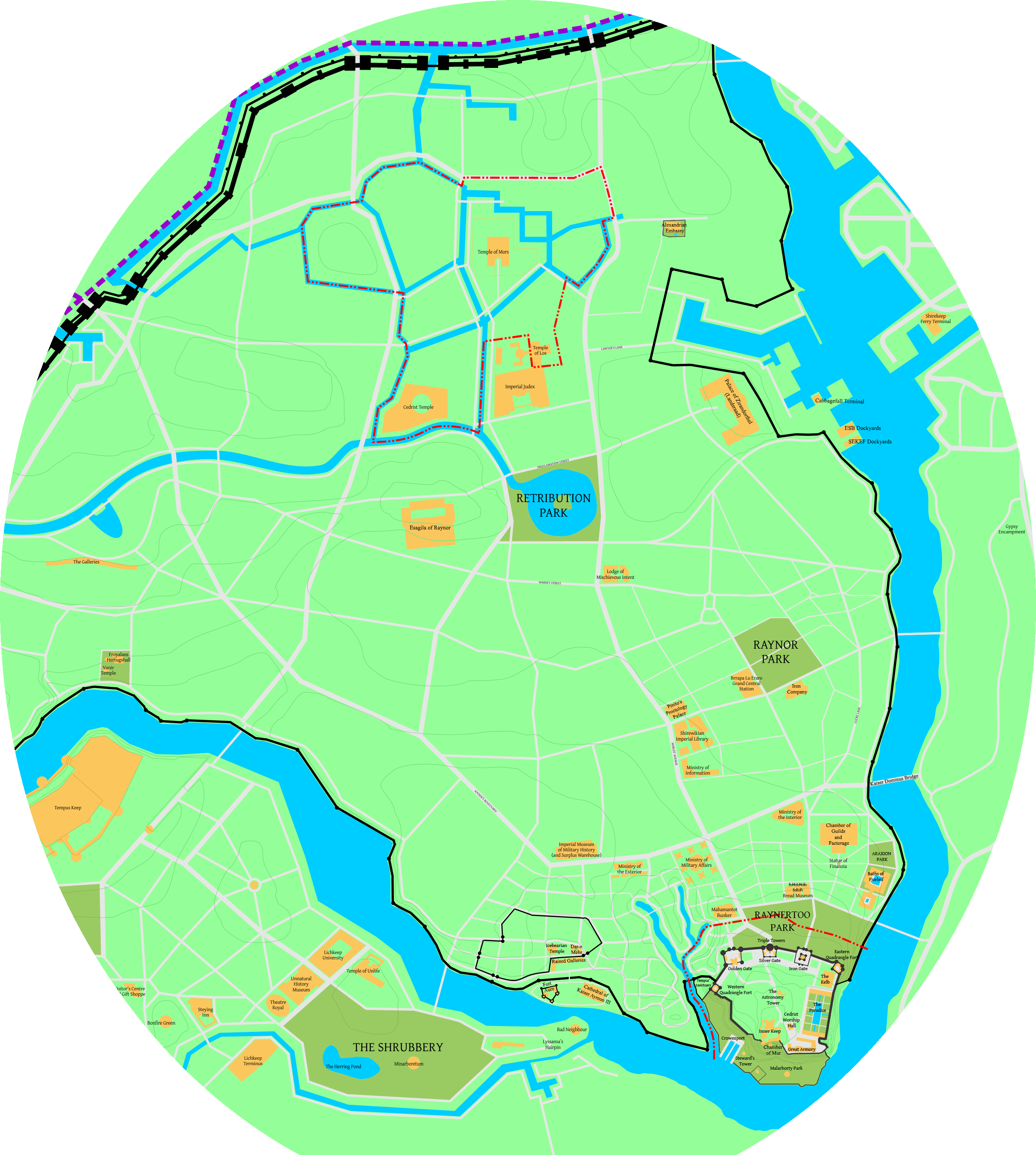 Shirekeep indexed.png 2,685 × 2,993; 484 KB
 Shirekeep2.GIF 484 × 562; 71 KB
 Shiremap1.jpg 1,987 × 1,432; 717 KB
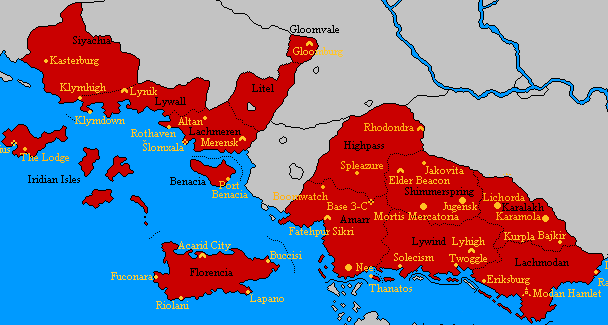
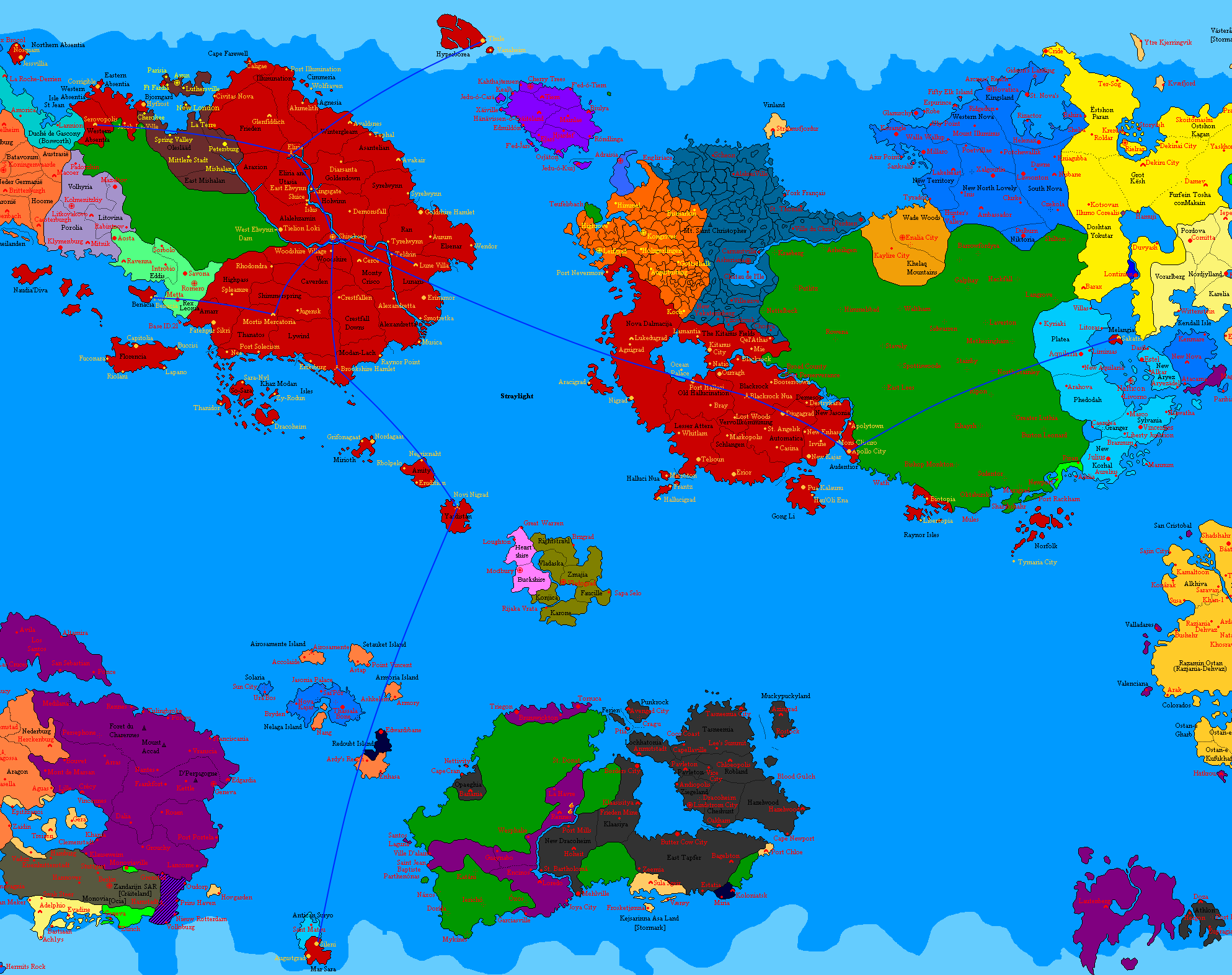
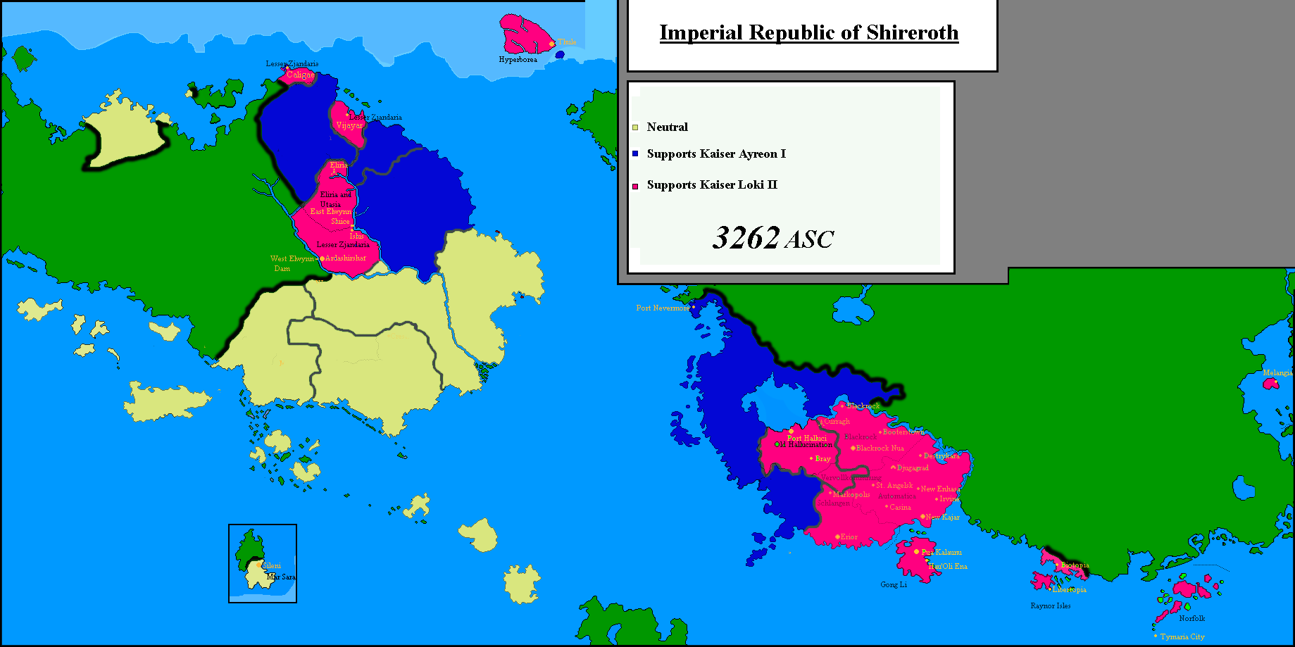
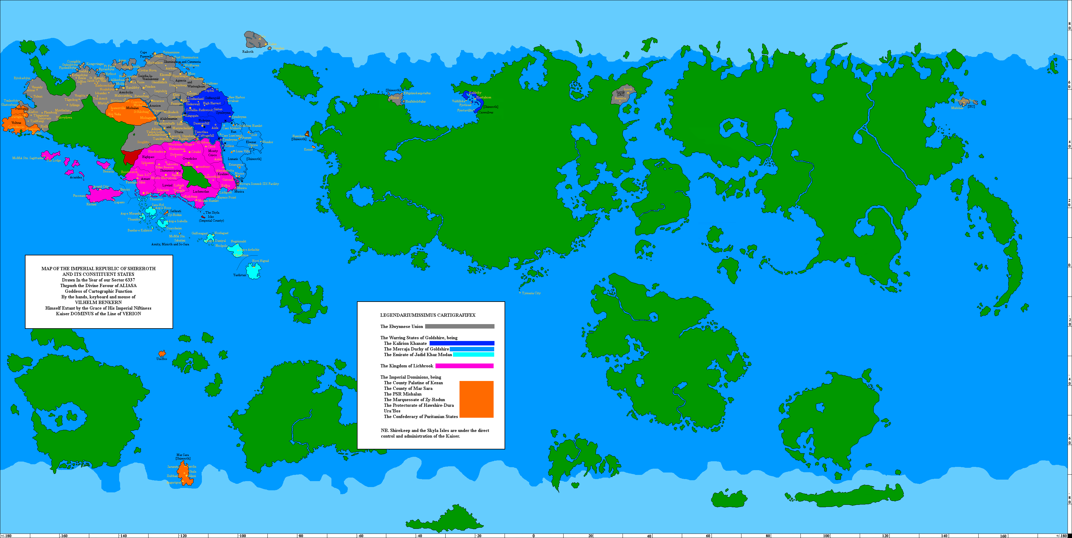 Shireroth Current States 6337.png 3,616 × 1,816; 194 KB
 Shireroth global.png 650 × 353; 126 KB
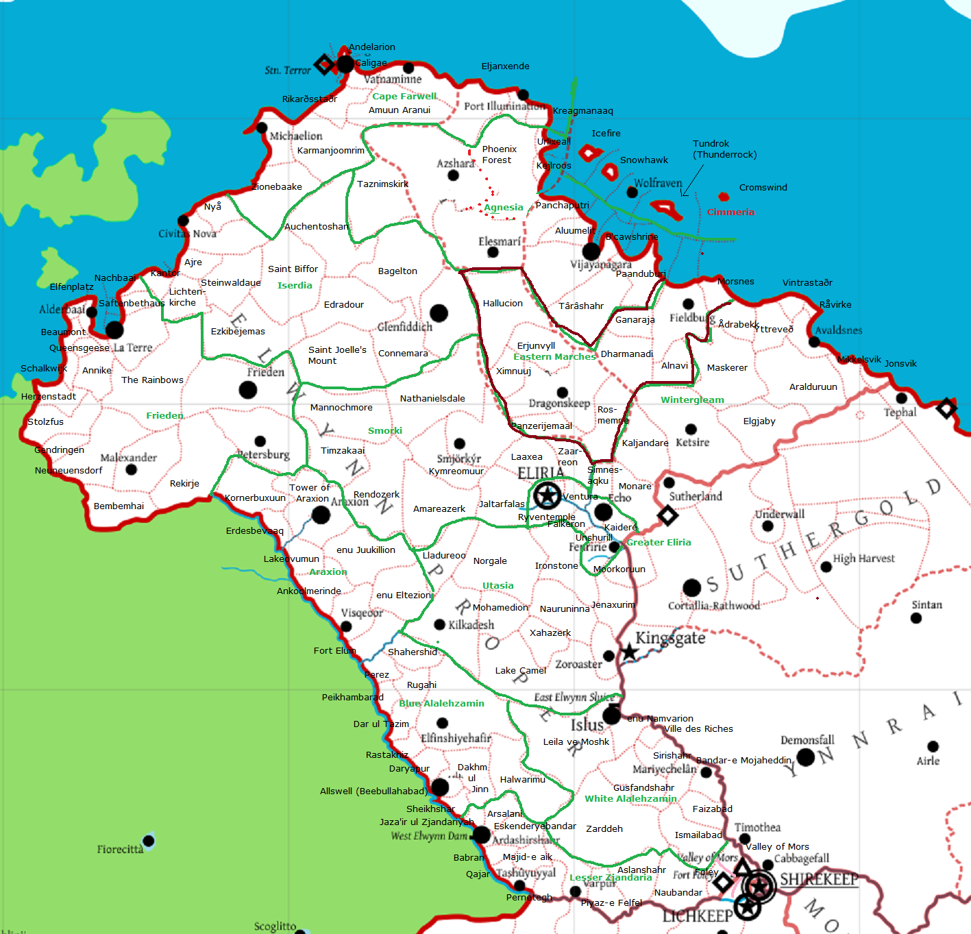
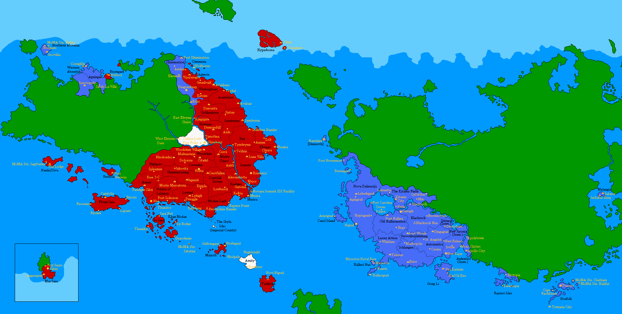
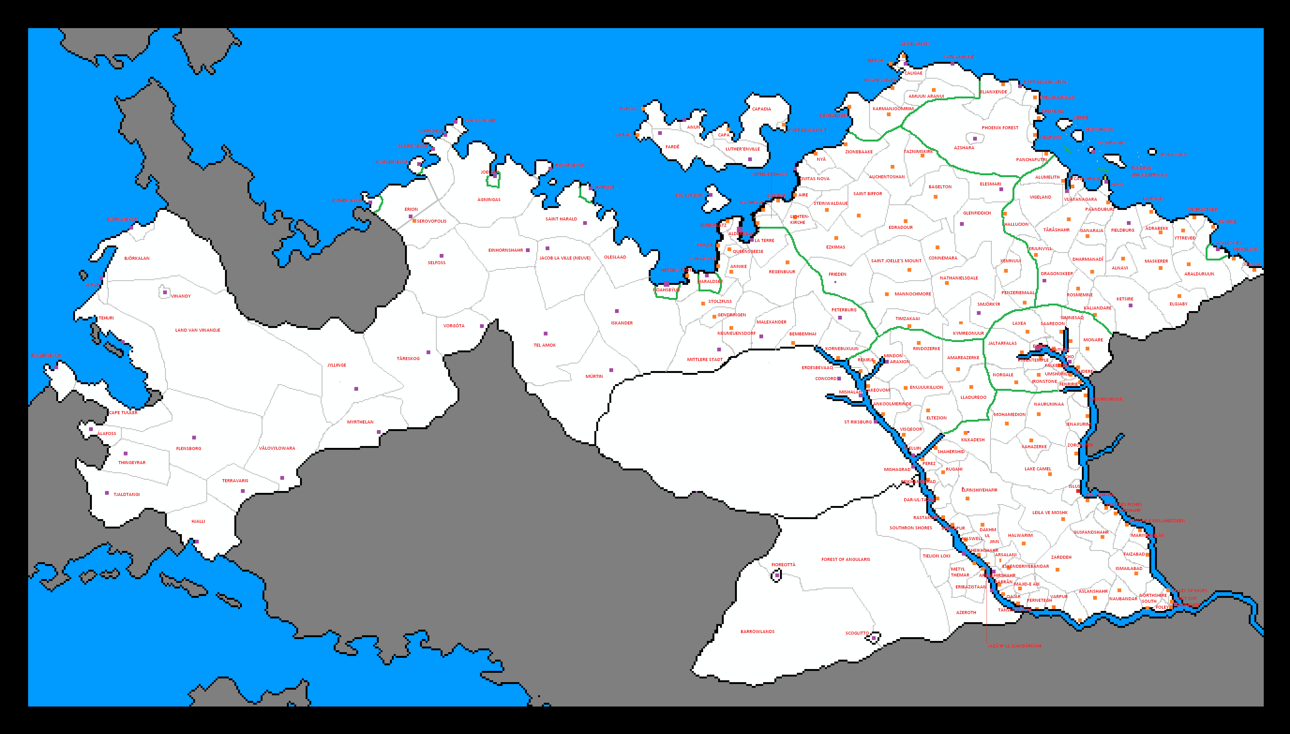
 Shireroth map allSettlements.png 4,413 × 3,510; 685 KB
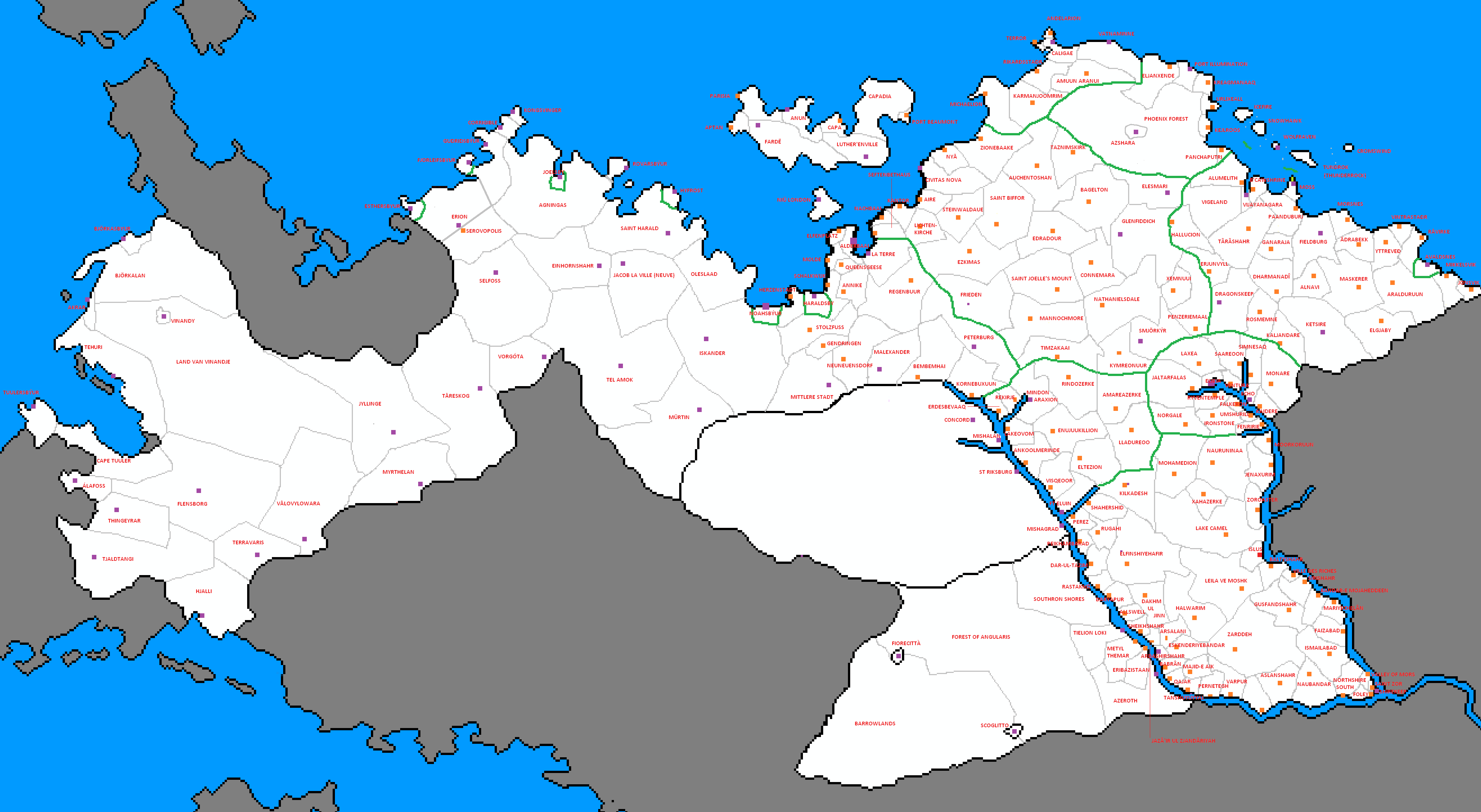
 Shireroth map1.png 4,413 × 3,510; 399 KB
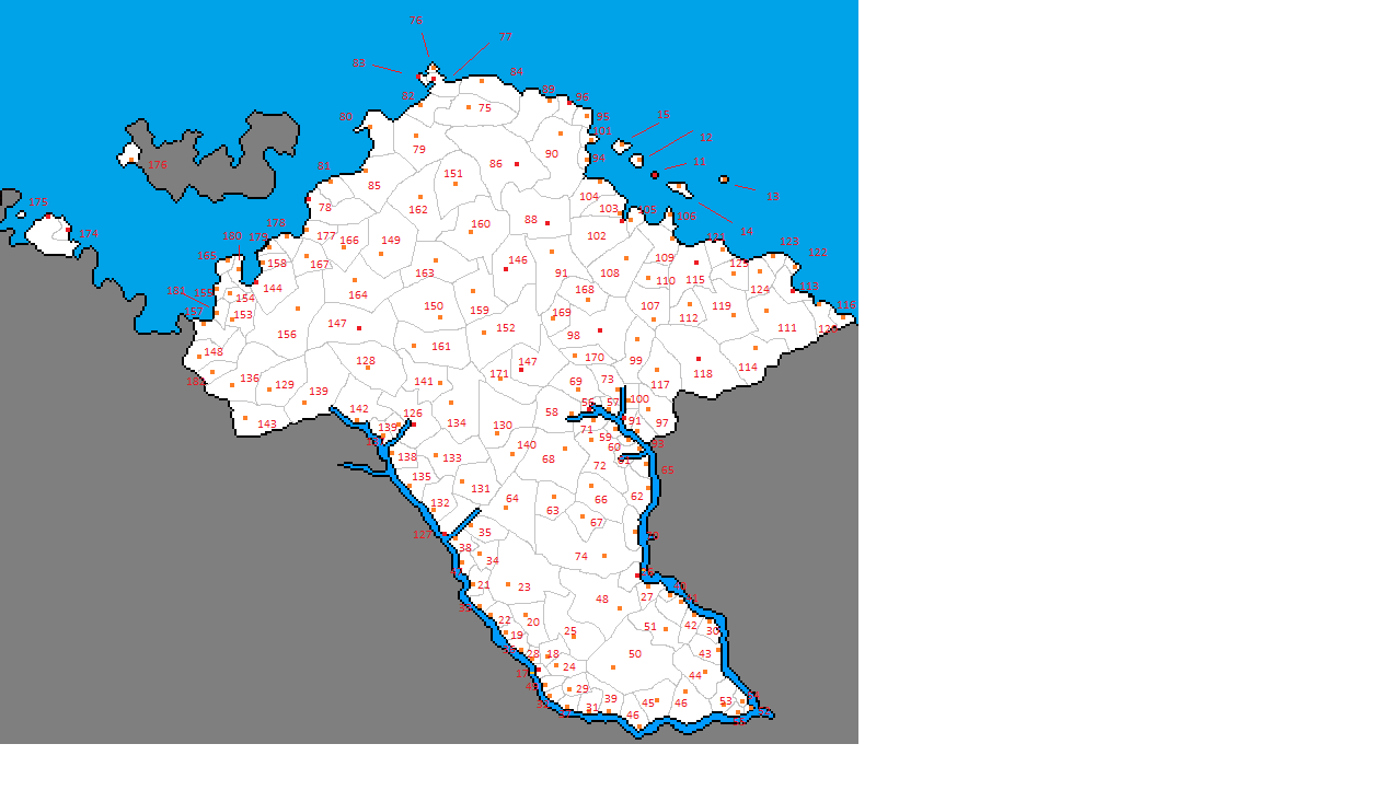
 Shireroth mapCounty1.png 5,301 × 3,455; 293 KB
 Shireroth mapStates.png 4,413 × 3,510; 443 KB
 Shireroth mapStatesand Cities.png 4,413 × 3,510; 492 KB
 Shireroth-24.3.2008.png 1,839 × 919; 41 KB
 Shireroth.11.16.2007.PNG 1,839 × 919; 46 KB
 Shireroth.baronies-24.3.2008.png 1,839 × 919; 48 KB
 Shireroth.baronies.new.PNG 1,839 × 919; 72 KB
 Shireroth.baronies.new1.PNG 1,839 × 919; 42 KB
 Shireroth.baronies.old.PNG 1,839 × 919; 47 KB
 Shireroth.baronies.PNG 1,860 × 919; 140 KB
 Shireroth.png 4,747 × 2,325; 1.9 MB
 ShirerothEthnomap individual.png 4,659 × 3,605; 425 KB
 Skylaislands.png 1,024 × 1,012; 97 KB
 Small Commonwealth.png 3,600 × 1,800; 346 KB
 So Sara- physical- PNG.png 598 × 486; 21 KB
 So Sara- political- PNG.png 597 × 528; 32 KB
 SpreadIcebear.gif 400 × 377; 148 KB
 Straylight.png 450 × 416; 7 KB
 Subdivisions Elwynn.png 4,128 × 2,350; 282 KB
 Subdivisions Elwynn2.png 3,949 × 2,166; 264 KB
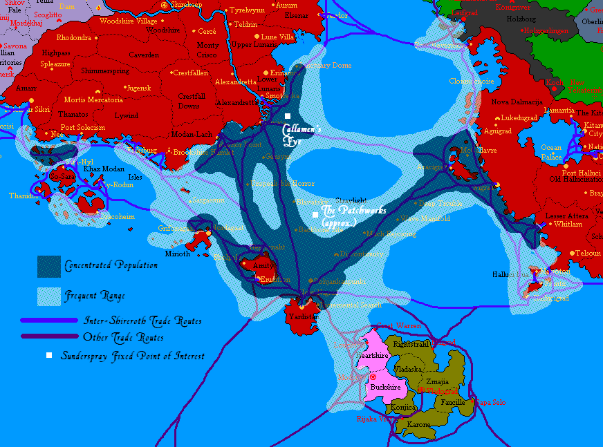 Sunderspray.png 872 × 647; 89 KB
 Support map.PNG 1,839 × 919; 157 KB
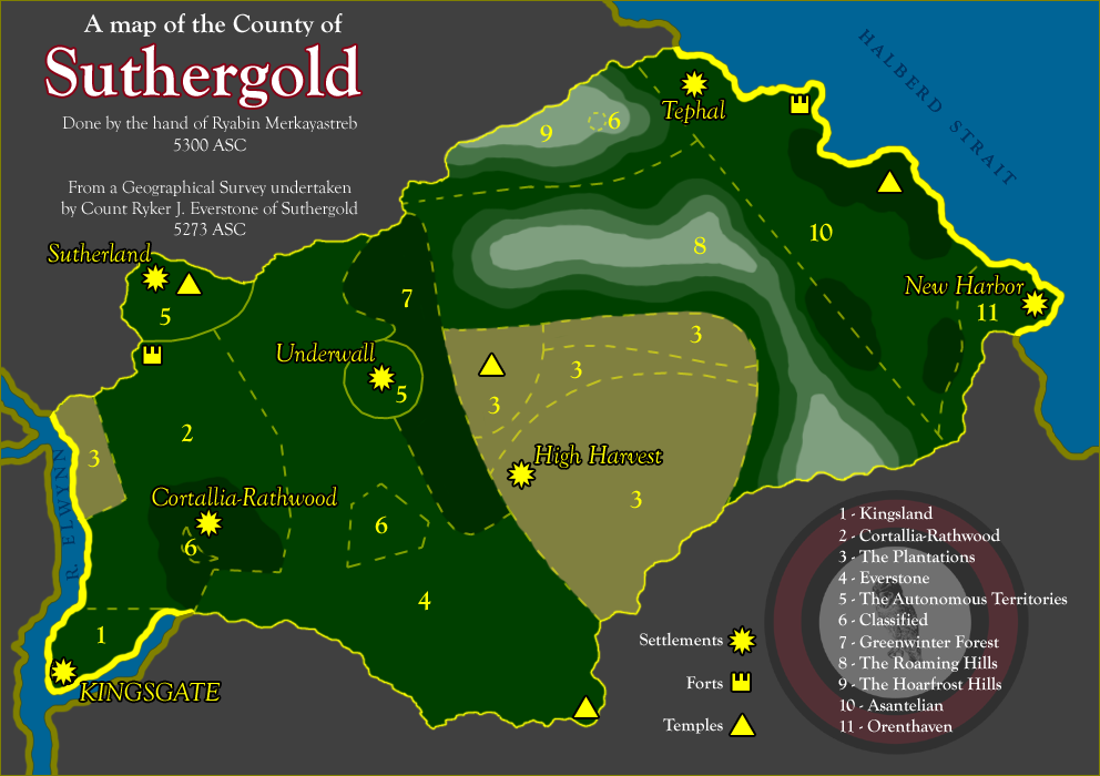 Suthergold5300.png 992 × 700; 232 KB
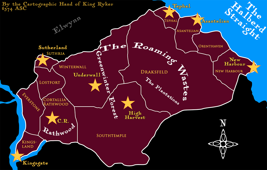 SuthergoldMap1 Named.png 1,050 × 670; 245 KB
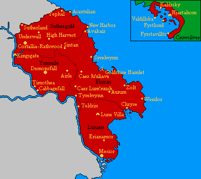
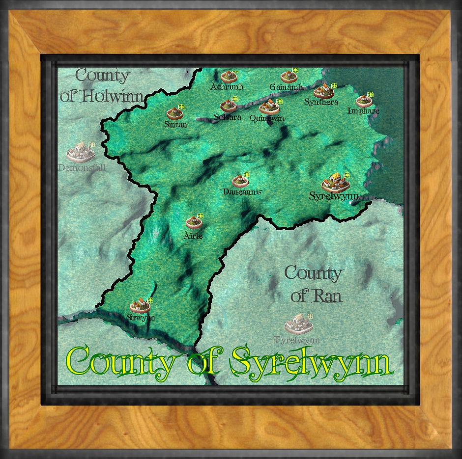 Syrelwynn.jpg 940 × 935; 295 KB
 TymarianShire.png 1,642 × 858; 64 KB
 Upec.gif 539 × 385; 17 KB
 Uppland Terrain Map.png 887 × 768; 30 KB
 Vaanaujoenmap.png 340 × 151; 4 KB
 Vale of Angularis12.png 1,164 × 751; 22 KB
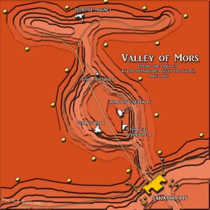 Valley of Mors.png 700 × 700; 267 KB
 Vattnaland.jpg 438 × 355; 22 KB
 Vivaldi.gif 500 × 325; 9 KB
 Vivaldia topo.gif 500 × 325; 7 KB
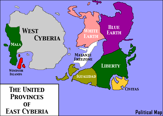
 Windsor.gif 239 × 219; 2 KB
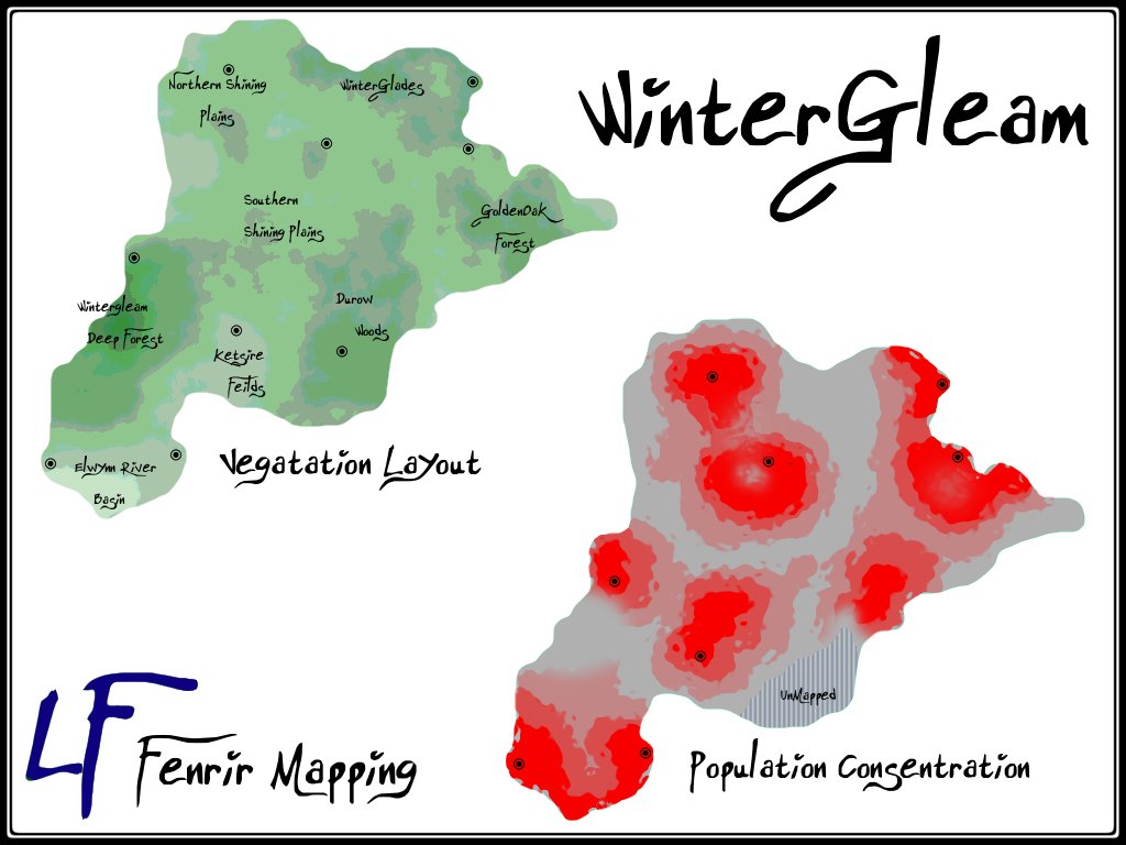 WinterGleam Mapping.png 1,024 × 768; 200 KB
 Wintergleam Political Map.png 640 × 480; 111 KB
 Wintergleam Woods.png 640 × 480; 59 KB
 Wintergleam.png 640 × 480; 111 KB
 Wintergleam1.png 1,050 × 1,049; 387 KB
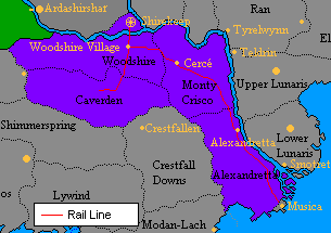
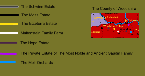 Woodshire.png 600 × 316; 20 KB
 Yellow Island Terrain.png 365 × 334; 17 KB
 Ynnrailemap.gif 246 × 248; 5 KB
 YnnraileMap1 templateNamed.png 1,050 × 963; 307 KB
 York.jpg 180 × 174; 17 KB
 ZyRodunMap.png 3,643 × 3,480; 91 KB


