File:Raynor isles map.png
From ShireWiki
Size of this preview: 620 × 600 pixels. Other resolutions: 248 × 240 pixels | 1,000 × 967 pixels.
Original file (1,000 × 967 pixels, file size: 43 KB, MIME type: image/png)
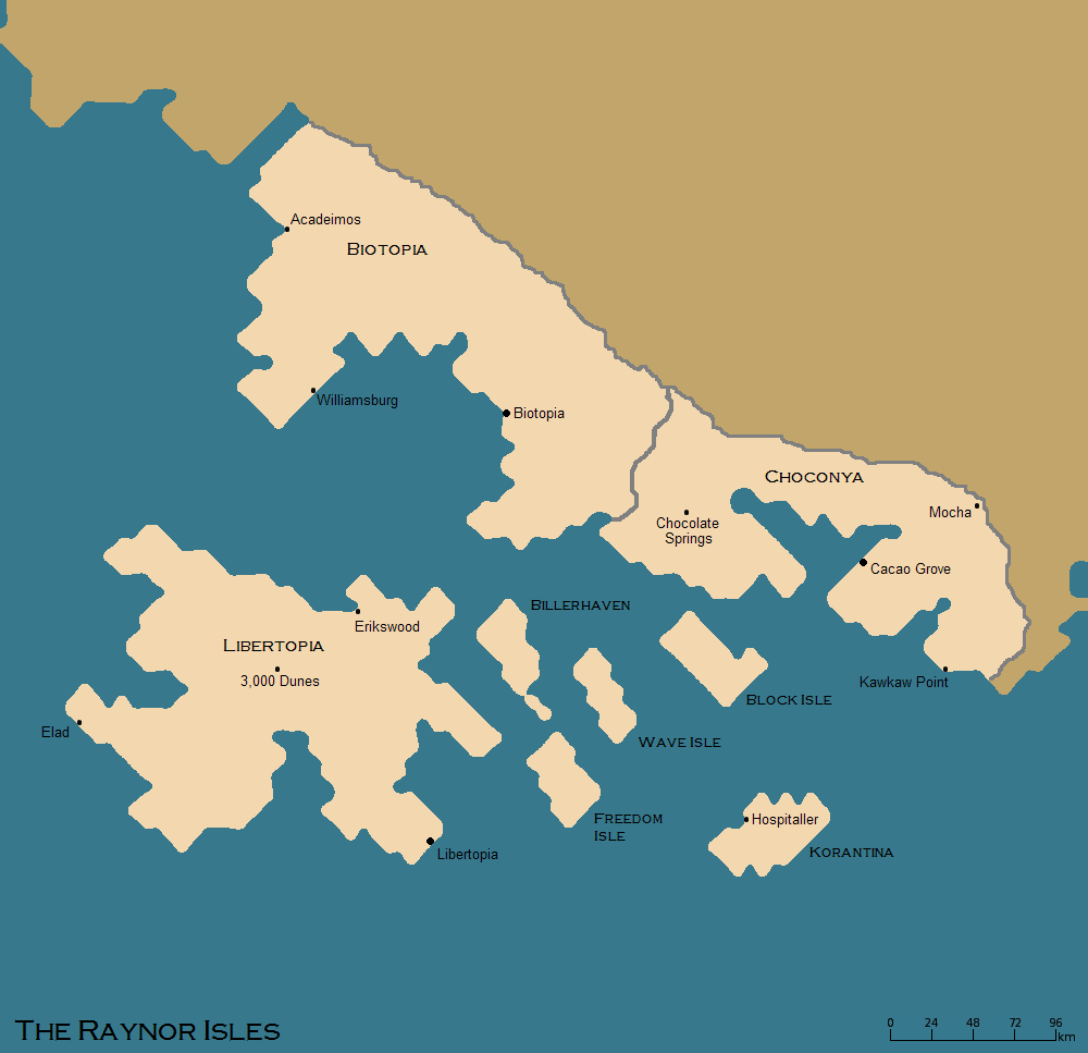
Map of the Raynor Isles as of Feb 2016.
File history
Click on a date/time to view the file as it appeared at that time.
| Date/Time | Thumbnail | Dimensions | User | Comment | |
|---|---|---|---|---|---|
| current | 16:06, 18 February 2016 | | 1,000 × 967 (43 KB) | Vlad (talk | contribs) | Map of the Raynor Isles as of Feb 2016. |
- You cannot overwrite this file.
File usage
The following page uses this file: